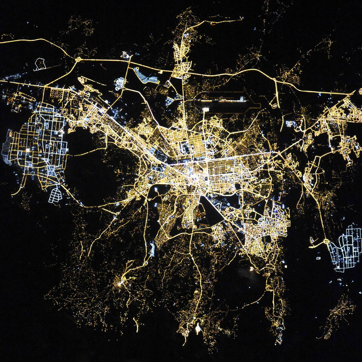
Kayseri night lights from space
Night Light of Kayseri from space (Turkey) Src. Average luminocity for 10x10km area is 94.4898% and for 50x50km: 22.8287%.
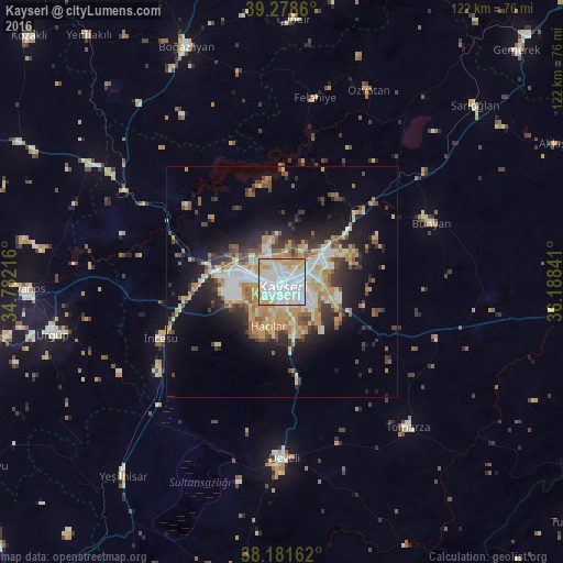
Analysis of Kayseri night lights 2016
Square area 10x10 km:
 46.09%
90-99
32.82%80-89
7.31%70-79
13.61%60-69
0.17%50-59
0%40-49
0%30-39
0%20-29
0%10-19
0%0-9
0%Square area 50x50 km:
3.64%90-99
4.79%80-89
2.61%70-79
4.9%60-69
2.36%50-59
2.54%40-49
2.26%30-39
2.99%20-29
5.04%10-19
9.45%0-9
59.41%Clear (daylight) street map image can be seen on geolist.org.
Map coordinates:
39° 16' 43" North, 34° 46' 55.8" East
38° 43' 56" North, 35° 29' 7" East
38° 10' 53.8" North, 36° 11' 18.3" East
Fantastic image of Kayseri from space taken by astronauts [src2], but I don't have information about it's orientation, scale or angle. If necessary, it was rotated manually, so North points approximately to upper direction. Click to zoom in:
Some cities around Kayseri sort by population:
• Talas
7.5 km =4.7 mi,  127°
127°
• Develi
38 km =23.6 mi,  179°
179°
• Hacılar
10 km =6.2 mi,  198°
198°
• ĂśrgĂĽp
51.1 km =31.8 mi,  257°
257°
• YeĹźilhisar
54.5 km =33.9 mi,  219°
219°
• BĂĽnyan
34.9 km =21.7 mi,  68°
68°
• Tomarza
41.8 km =26 mi,  139°
139°
• Felahiye
40.5 km =25.2 mi,  10°
10°
308464 (p: 592,840)
Sources (retrieved 2019-11-25):
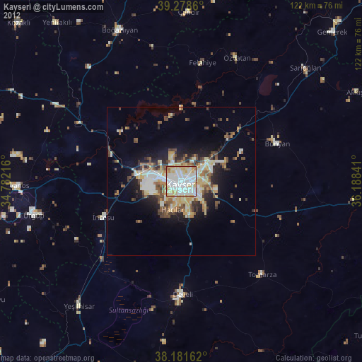
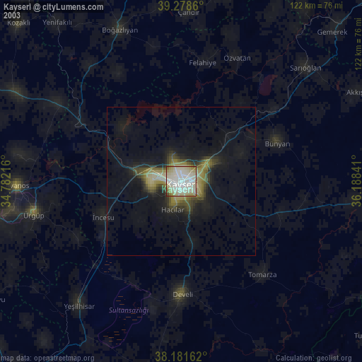
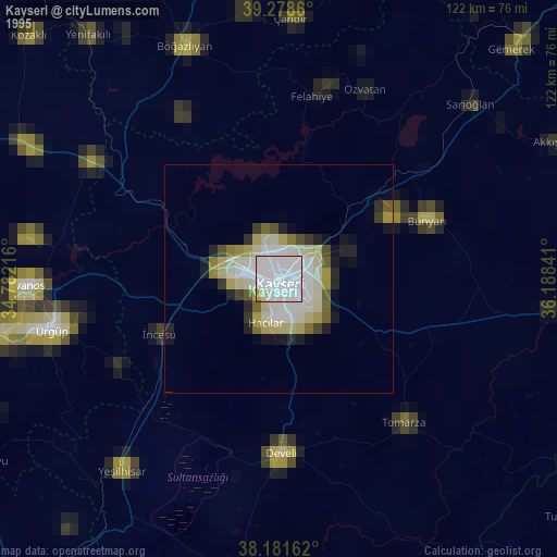
» NASA, Earths city lights 1995
» NASA city lights 2003
» Earth at Night: Flat Maps 2012, 2016
Src.2: picture by Oleg Kononenko, Roscosmos, retrieved 2019-11-29