Kavaklı night lights from space
Night Light of Kavaklı (Istanbul) from space (Turkey) Src. Average luminocity for 10x10km area is 39.3669% and for 50x50km: 14.6635%.
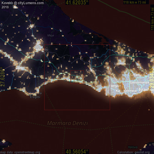
Analysis of Kavaklı night lights 2016
Square area 10x10 km:
 2.76%
2.76%90-99
5.52%80-89
2.76%70-79
3.73%60-69
10.88%50-59
14.61%40-49
3.25%30-39
7.63%20-29
8.93%10-19
33.93%0-9
6.01%Square area 50x50 km:
1.47%90-99
2.03%80-89
1.62%70-79
1.77%60-69
2.39%50-59
3.22%40-49
1.49%30-39
2.04%20-29
5.12%10-19
12.58%0-9
66.27%Clear (daylight) street map image can be seen on geolist.org.
Map coordinates:
41° 37' 13.3" North, 27° 37' 43" East
41° 5' 33.3" North, 28° 19' 54.2" East
40° 33' 37.9" North, 29° 2' 5.5" East
Some cities around Kavaklı sort by population:
• Silivri
7.4 km =4.6 mi,  253°
253°
• Mimarsinan
21 km =13 mi,  113°
113°
• Tepecik
19.6 km =12.2 mi, 111°
• Çatalca
12.2 km =7.6 mi,  62°
62°
• Kumburgaz
14.8 km =9.2 mi,  122°
122°
• Selimpaşa
5.2 km =3.2 mi,  145°
145°
• Celâliye
8.6 km =5.3 mi, 121°
• Çanta
20.9 km =13 mi,  265°
265°
743818 (p: 50,502)
Sources (retrieved 2019-11-25):
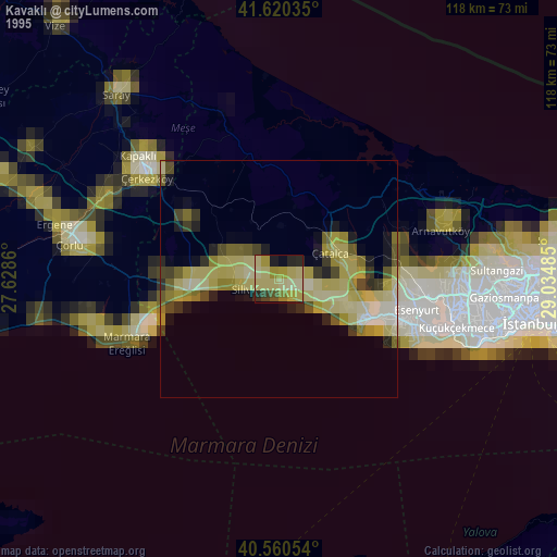
» NASA, Earths city lights 1995
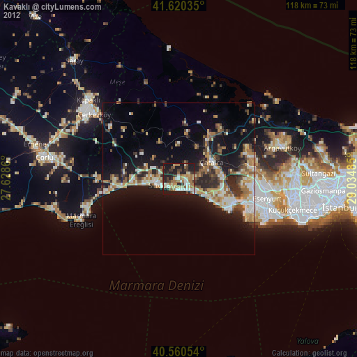
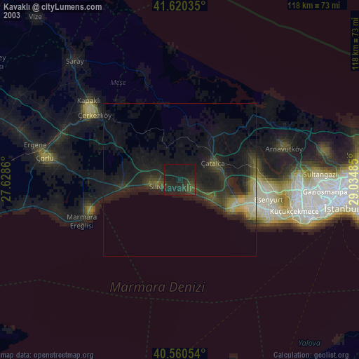
» NASA city lights 2003
» Earth at Night: Flat Maps 2012, 2016