Darende night lights from space
Night Light of Darende (Malatya) from space (Turkey) Src. Average luminocity for 10x10km area is 11.3036% and for 50x50km: 2.1087%.
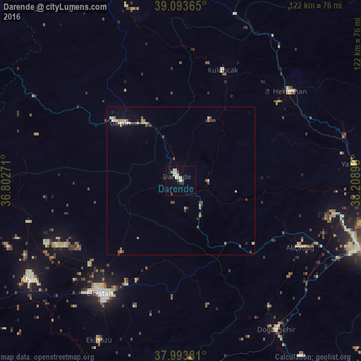
Analysis of Darende night lights 2016
Square area 10x10 km:
 0.65%
0.65%90-99
5.36%80-89
0.49%70-79
0.65%60-69
0.65%50-59
0.32%40-49
1.62%30-39
0.65%20-29
1.62%10-19
0.97%0-9
87.01%Square area 50x50 km:
0.08%90-99
0.6%80-89
0.24%70-79
0.28%60-69
0.1%50-59
0.31%40-49
0.32%30-39
0.28%20-29
0.27%10-19
0.4%0-9
97.11%Clear (daylight) street map image can be seen on geolist.org.
Map coordinates:
39° 5' 37.1" North, 36° 48' 9.8" East
38° 32' 45" North, 37° 30' 21" East
37° 59' 37.7" North, 38° 12' 32.3" East
Some cities around Darende sort by population:
• Elbistan
46.3 km =28.8 mi,  215°
215°
• Doğanşehir
60.3 km =37.5 mi,  148°
148°
• Akçadağ
46.5 km =28.9 mi,  119°
119°
• Hekimhan
47.5 km =29.5 mi,  50°
50°
• Gürün
28.3 km =17.6 mi,  313°
313°
• Kuluncak
39.2 km =24.4 mi,  20°
20°
• Celeyke
60.8 km =37.8 mi,  207°
207°
• Yazıhan
58.3 km =36.2 mi,  84°
84°
317588 (p: 20,388)
Sources (retrieved 2019-11-25):
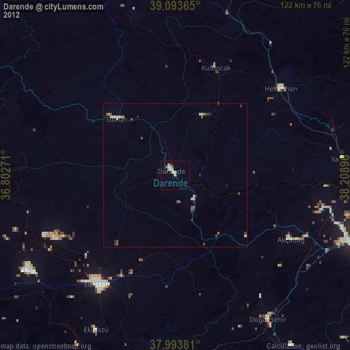
» Earth at Night: Flat Maps 2012, 2016