Hadim night lights from space
Night Light of Hadim (Konya) from space (Turkey) Src. Average luminocity for 10x10km area is 6.0118% and for 50x50km: 1.5013%.
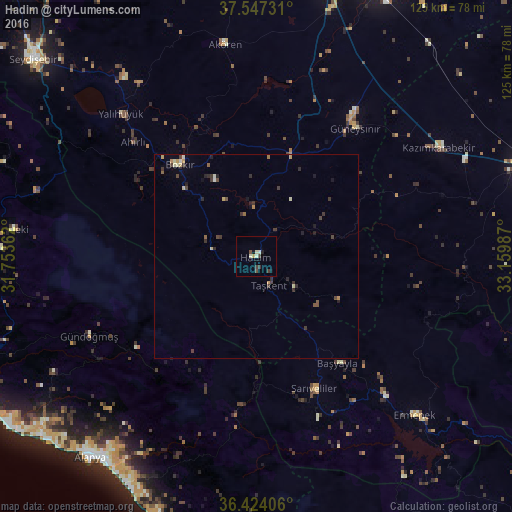
Analysis of Hadim night lights 2016
Square area 10x10 km:
 0%
0%90-99
2.36%80-89
0.51%70-79
0.51%60-69
0%50-59
0.17%40-49
1.85%30-39
2.02%20-29
0.51%10-19
1.18%0-9
90.91%Square area 50x50 km:
0.02%90-99
0.27%80-89
0.19%70-79
0.21%60-69
0.09%50-59
0.19%40-49
0.39%30-39
0.56%20-29
0.41%10-19
0.28%0-9
97.4%Clear (daylight) street map image can be seen on geolist.org.
Map coordinates:
37° 32' 50.3" North, 31° 45' 13" East
36° 59' 15.9" North, 32° 27' 24.3" East
36° 25' 26.6" North, 33° 9' 35.5" East
Some cities around Hadim sort by population:
• Ermenek
54.7 km =34 mi,  134°
134°
• Taşkent
7.7 km =4.8 mi,  156°
156°
• Akseki
59.6 km =37 mi,  276°
276°
• Bozkır
29.1 km =18.1 mi,  320°
320°
• Sarıveliler
35.2 km =21.9 mi, 156°
• Yalıhüyük
47.9 km =29.8 mi, 316°
• Eksere
45 km =28 mi,  244°
244°
• Başyayla
32.8 km =20.4 mi,  142°
142°
312899 (p: 20,110)
Sources (retrieved 2019-11-25):
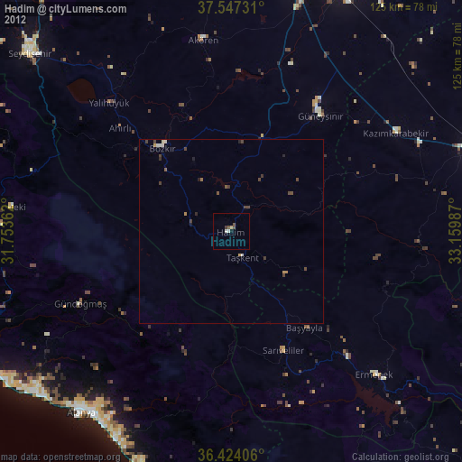
» Earth at Night: Flat Maps 2012, 2016