Gölbaşı night lights from space
Night Light of Gölbaşı (Adıyaman) from space (Turkey) Src. Average luminocity for 10x10km area is 17.7007% and for 50x50km: 2.7139%.
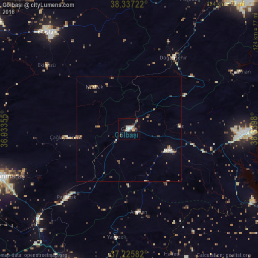
Analysis of Gölbaşı night lights 2016
Square area 10x10 km:
 2.04%
2.04%90-99
4.76%80-89
0.68%70-79
1.53%60-69
2.21%50-59
1.53%40-49
3.74%30-39
1.53%20-29
1.36%10-19
5.95%0-9
74.66%Square area 50x50 km:
0.13%90-99
0.5%80-89
0.13%70-79
0.42%60-69
0.22%50-59
0.4%40-49
0.86%30-39
0.55%20-29
0.32%10-19
0.57%0-9
95.89%Clear (daylight) street map image can be seen on geolist.org.
Map coordinates:
38° 20' 14" North, 36° 56' 0.8" East
37° 47' 1" North, 37° 38' 12" East
37° 13' 33" North, 38° 20' 23.3" East
Some cities around Gölbaşı sort by population:
• Besni
22.2 km =13.8 mi,  117°
117°
• Pazarcık
44.4 km =27.6 mi,  221°
221°
• Çağlayancerit
31.1 km =19.3 mi,  262°
262°
• Doğanşehir
39.4 km =24.5 mi,  31°
31°
• Araban
40 km =24.9 mi,  173°
173°
• Nurhak
26.4 km =16.4 mi,  319°
319°
• Tut
24.6 km =15.3 mi,  86°
86°
• Celeyke
49.9 km =31 mi,  307°
307°
314136 (p: 28,078)
Sources (retrieved 2019-11-25):
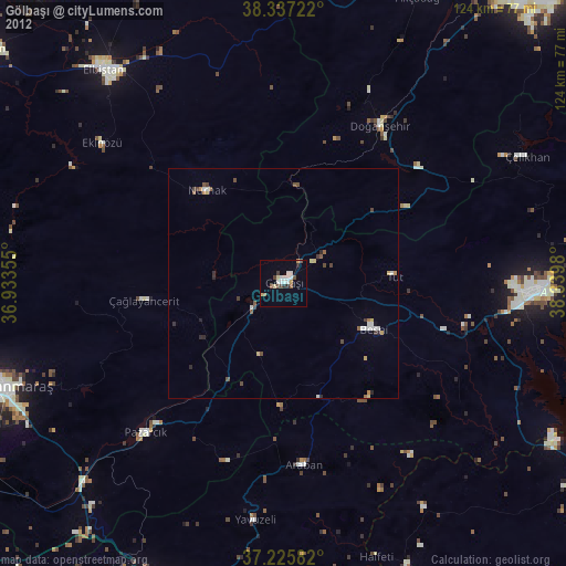
» Earth at Night: Flat Maps 2012, 2016