Celeyke night lights from space
Night Light of Celeyke (Kahramanmaraş) from space (Turkey) Src. Average luminocity for 10x10km area is 5.6575% and for 50x50km: 5.1253%.
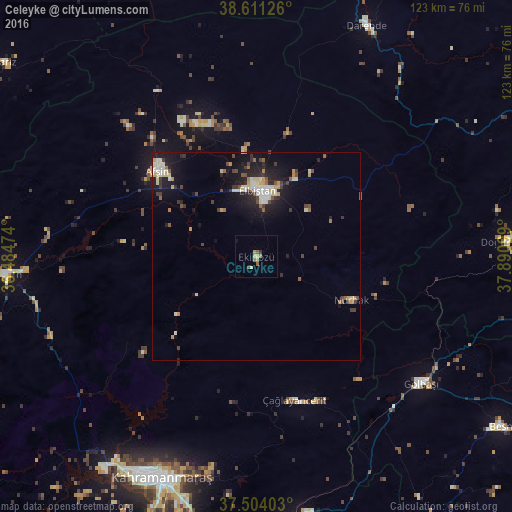
Analysis of Celeyke night lights 2016
Square area 10x10 km:
 0%
0%90-99
0%80-89
1.95%70-79
1.3%60-69
1.3%50-59
1.3%40-49
0.65%30-39
0.65%20-29
0%10-19
0.65%0-9
92.21%Square area 50x50 km:
0.37%90-99
1.09%80-89
0.75%70-79
0.59%60-69
0.34%50-59
0.63%40-49
0.74%30-39
0.72%20-29
1.29%10-19
4.31%0-9
89.15%Clear (daylight) street map image can be seen on geolist.org.
Map coordinates:
38° 36' 40.5" North, 36° 29' 5.1" East
38° 3' 35.1" North, 37° 11' 16.3" East
37° 30' 14.5" North, 37° 53' 27.6" East
Some cities around Celeyke sort by population:
• Kahramanmaraş
57.6 km =35.8 mi,  203°
203°
• Elbistan
16.3 km =10.1 mi,  3°
3°
• Afşin
31.8 km =19.8 mi,  311°
311°
• Göksun
60.6 km =37.7 mi,  265°
265°
• Gölbaşı
49.9 km =31 mi,  127°
127°
• Çağlayancerit
36 km =22.4 mi,  166°
166°
• Doğanşehir
59.9 km =37.2 mi,  87°
87°
• Nurhak
24.6 km =15.3 mi,  115°
115°
315835 (p: 6,298)
Sources (retrieved 2019-11-25):
» Earth at Night: Flat Maps 2012, 2016