Ereğli night lights from space
Night Light of Ereğli (Zonguldak) from space (Turkey) Src. Average luminocity for 10x10km area is 39.3344% and for 50x50km: 5.3945%.
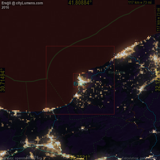
Analysis of Ereğli night lights 2016
Square area 10x10 km:
 5.68%
5.68%90-99
6.01%80-89
5.03%70-79
4.22%60-69
5.68%50-59
13.15%40-49
1.46%30-39
5.19%20-29
9.74%10-19
26.95%0-9
16.88%Square area 50x50 km:
0.36%90-99
0.35%80-89
0.42%70-79
0.43%60-69
0.85%50-59
1.49%40-49
0.81%30-39
1.45%20-29
1.61%10-19
4.44%0-9
87.8%Clear (daylight) street map image can be seen on geolist.org.
Map coordinates:
41° 48' 31.8" North, 30° 42' 53.8" East
41° 16' 57.4" North, 31° 25' 5" East
40° 45' 7.6" North, 32° 7' 16.3" East
Some cities around Ereğli sort by population:
• Zonguldak
36.5 km =22.7 mi,  59°
59°
• Düzce
53.7 km =33.4 mi,  203°
203°
• Karasu Mahallesi
57.9 km =36 mi,  246°
246°
• Akçakoca
33.4 km =20.8 mi,  229°
229°
• Devrek
45.5 km =28.3 mi,  98°
98°
• Çaycuma
57.2 km =35.5 mi,  73°
73°
• Alaplı
11.6 km =7.2 mi,  193°
193°
• Kocaali
53.7 km =33.4 mi,  241°
241°
747471 (p: 88,848)
Sources (retrieved 2019-11-25):
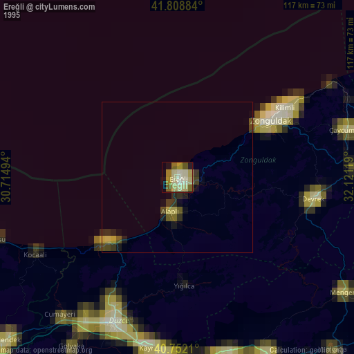
» NASA, Earths city lights 1995
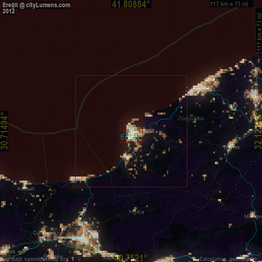
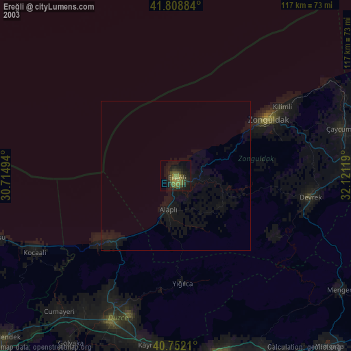
» NASA city lights 2003
» Earth at Night: Flat Maps 2012, 2016