Alaplı night lights from space
Night Light of Alaplı (Zonguldak) from space (Turkey) Src. Average luminocity for 10x10km area is 19.586% and for 50x50km: 5.6718%.
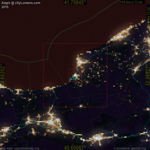
Analysis of Alaplı night lights 2016
Square area 10x10 km:
 1.95%
1.95%90-99
1.3%80-89
0%70-79
1.95%60-69
3.08%50-59
6.01%40-49
3.08%30-39
3.08%20-29
5.36%10-19
28.25%0-9
45.94%Square area 50x50 km:
0.36%90-99
0.39%80-89
0.47%70-79
0.51%60-69
0.89%50-59
1.44%40-49
0.86%30-39
1.47%20-29
1.68%10-19
4.49%0-9
87.43%Clear (daylight) street map image can be seen on geolist.org.
Map coordinates:
41° 42' 30.4" North, 30° 40' 55.3" East
41° 10' 53" North, 31° 23' 6.5" East
40° 39' 0.3" North, 32° 5' 17.8" East
Some cities around Alaplı sort by population:
• Zonguldak
45.4 km =28.2 mi,  48°
48°
• Bolu
52.9 km =32.9 mi,  159°
159°
• Ereğli
11.6 km =7.2 mi,  13°
13°
• Düzce
42.4 km =26.3 mi,  205°
205°
• Karasu Mahallesi
51.7 km =32.1 mi,  256°
256°
• Akçakoca
24.9 km =15.5 mi,  244°
244°
• Devrek
47.9 km =29.8 mi,  84°
84°
• Kocaali
46.8 km =29.1 mi,  252°
252°
752184 (p: 20,890)
Sources (retrieved 2019-11-25):
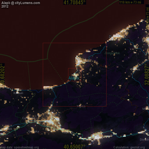
» Earth at Night: Flat Maps 2012, 2016