Düzce night lights from space
Night Light of Düzce from space (Turkey) Src. Average luminocity for 10x10km area is 59.0391% and for 50x50km: 9.5097%.
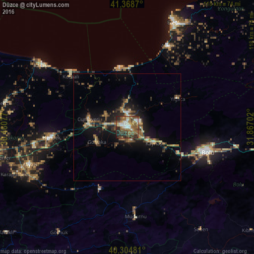
Analysis of Düzce night lights 2016
Square area 10x10 km:
 9.01%
9.01%90-99
11.39%80-89
5.1%70-79
5.1%60-69
9.86%50-59
20.24%40-49
14.97%30-39
9.01%20-29
13.78%10-19
1.53%0-9
0%Square area 50x50 km:
0.57%90-99
1.11%80-89
0.92%70-79
1.07%60-69
1.37%50-59
2.19%40-49
1.95%30-39
2.07%20-29
2.71%10-19
7.38%0-9
78.66%Clear (daylight) street map image can be seen on geolist.org.
Map coordinates:
41° 22' 7.3" North, 30° 27' 38.8" East
40° 50' 20" North, 31° 9' 50" East
40° 18' 17.3" North, 31° 52' 1.3" East
Some cities around Düzce sort by population:
• Bolu
39 km =24.2 mi,  107°
107°
• Karasu Mahallesi
40.9 km =25.4 mi,  309°
309°
• Hendek
35.3 km =21.9 mi,  262°
262°
• Akçakoca
27.8 km =17.3 mi,  351°
351°
• Akyazı
48.7 km =30.3 mi,  249°
249°
• Alaplı
42.4 km =26.3 mi,  25°
25°
• Kocaali
35.4 km =22 mi, 312°
• Mudurnu
40.8 km =25.4 mi,  174°
174°
747764 (p: 57,739)
Sources (retrieved 2019-11-25):
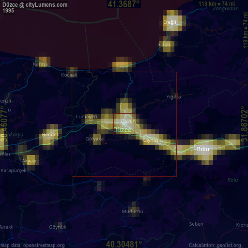
» NASA, Earths city lights 1995
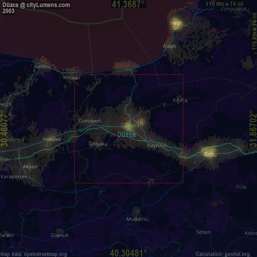
» NASA city lights 2003
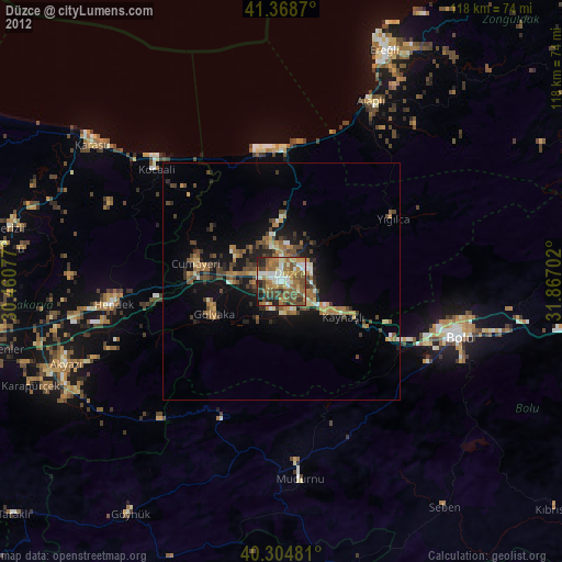
» Earth at Night: Flat Maps 2012, 2016