Akçakoca night lights from space
Night Light of Akçakoca (Düzce) from space (Turkey) Src. Average luminocity for 10x10km area is 14.9838% and for 50x50km: 5.5841%.
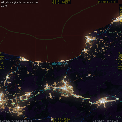
Analysis of Akçakoca night lights 2016
Square area 10x10 km:
 0.97%
0.97%90-99
1.14%80-89
2.11%70-79
3.25%60-69
4.38%50-59
1.14%40-49
1.14%30-39
1.14%20-29
1.3%10-19
5.68%0-9
77.76%Square area 50x50 km:
0.35%90-99
0.53%80-89
0.5%70-79
0.63%60-69
0.95%50-59
1.07%40-49
1%30-39
1.14%20-29
1.69%10-19
4.39%0-9
87.76%Clear (daylight) street map image can be seen on geolist.org.
Map coordinates:
41° 36' 52" North, 30° 24' 47.2" East
41° 5' 11.9" North, 31° 6' 58.4" East
40° 33' 16.3" North, 31° 49' 9.7" East
Some cities around Akçakoca sort by population:
• Ereğli
33.4 km =20.8 mi,  49°
49°
• Düzce
27.8 km =17.3 mi,  171°
171°
• Karasu Mahallesi
27.8 km =17.3 mi,  266°
266°
• Hendek
44.5 km =27.7 mi,  224°
224°
• Karasu
35.2 km =21.9 mi, 273°
• Ferizli
55.3 km =34.4 mi,  252°
252°
• Alaplı
24.9 km =15.5 mi,  64°
64°
• Kocaali
22.4 km =13.9 mi,  260°
260°
752584 (p: 35,151)
Sources (retrieved 2019-11-25):
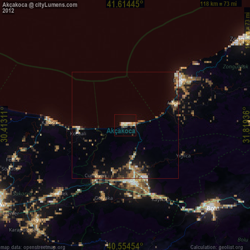
» Earth at Night: Flat Maps 2012, 2016