Elbistan night lights from space
Night Light of Elbistan (Kahramanmaraş) from space (Turkey) Src. Average luminocity for 10x10km area is 47.1071% and for 50x50km: 6.5619%.
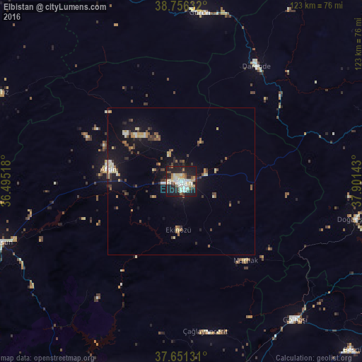
Analysis of Elbistan night lights 2016
Square area 10x10 km:
 7.31%
7.31%90-99
14.8%80-89
7.14%70-79
5.1%60-69
1.7%50-59
4.76%40-49
4.08%30-39
2.55%20-29
20.24%10-19
31.29%0-9
1.02%Square area 50x50 km:
0.39%90-99
1.2%80-89
0.98%70-79
0.74%60-69
0.49%50-59
0.87%40-49
1%30-39
0.96%20-29
1.44%10-19
6.06%0-9
85.89%Clear (daylight) street map image can be seen on geolist.org.
Map coordinates:
38° 45' 22.8" North, 36° 29' 42.6" East
38° 12' 21.3" North, 37° 11' 53.9" East
37° 39' 4.7" North, 37° 54' 5.1" East
Some cities around Elbistan sort by population:
• Afşin
25.3 km =15.7 mi,  280°
280°
• Gölbaşı
60.7 km =37.7 mi,  140°
140°
• Darende
46.3 km =28.8 mi,  35°
35°
• Çağlayancerit
51.8 km =32.2 mi,  171°
171°
• Doğanşehir
60.3 km =37.5 mi,  102°
102°
• Gürün
57.8 km =35.9 mi,  6°
6°
• Nurhak
34.3 km =21.3 mi, 141°
• Celeyke
16.3 km =10.1 mi,  183°
183°
315795 (p: 80,456)
Sources (retrieved 2019-11-25):
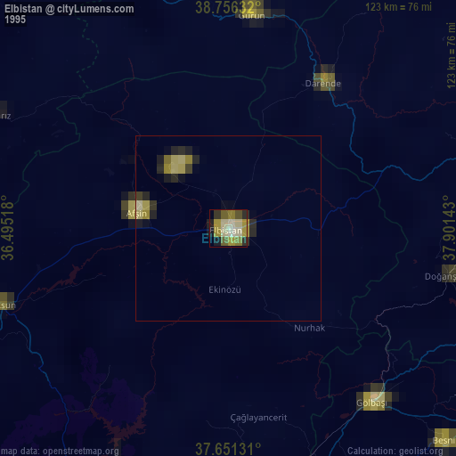
» NASA, Earths city lights 1995
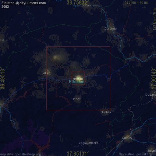
» NASA city lights 2003
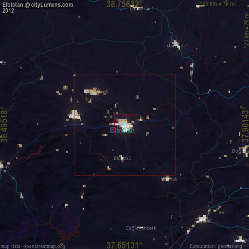
» Earth at Night: Flat Maps 2012, 2016