Afyonkarahisar night lights from space
Night Light of Afyonkarahisar from space (Turkey) Src. Average luminocity for 10x10km area is 73.0425% and for 50x50km: 13.6298%.
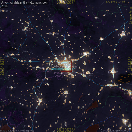
Analysis of Afyonkarahisar night lights 2016
Square area 10x10 km:
 18.71%
90-99
22.28%80-89
12.59%70-79
8.16%60-69
9.18%50-59
5.1%40-49
8.84%30-39
3.91%20-29
8.5%10-19
2.72%0-9
0%Square area 50x50 km:
1.03%90-99
2.57%80-89
1.8%70-79
1.67%60-69
1.75%50-59
1.37%40-49
1.68%30-39
2.17%20-29
3.9%10-19
10.25%0-9
71.8%Clear (daylight) street map image can be seen on geolist.org.
Map coordinates:
39° 18' 10.3" North, 29° 50' 24.8" East
38° 45' 24" North, 30° 32' 36" East
38° 12' 22.5" North, 31° 14' 47.3" East
Some cities around Afyonkarahisar sort by population:
• Bolvadin
44.1 km =27.4 mi,  96°
96°
• Sandıklı
40.2 km =25 mi,  216°
216°
• Çay
45.9 km =28.5 mi,  113°
113°
• Şuhut
25.1 km =15.6 mi,  179°
179°
• İscehisar
21.4 km =13.3 mi,  56°
56°
• Işıklar
19.6 km =12.2 mi,  119°
119°
• Sinanpaşa
26.1 km =16.2 mi,  267°
267°
• İhsaniye
32.2 km =20 mi,  340°
340°
325303 (p: 146,136)
Sources (retrieved 2019-11-25):
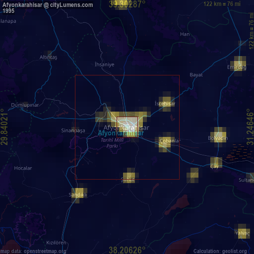
» NASA, Earths city lights 1995
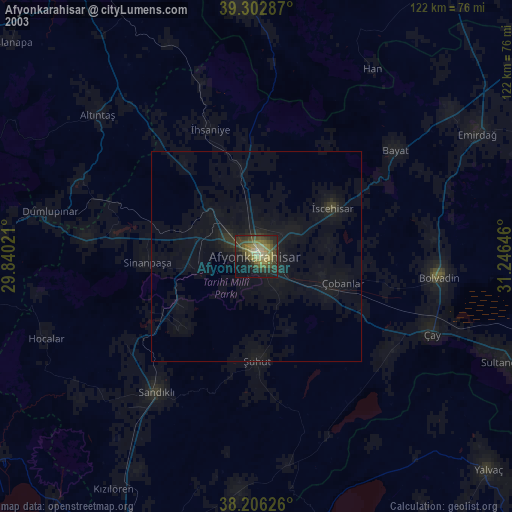
» NASA city lights 2003
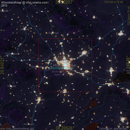
» Earth at Night: Flat Maps 2012, 2016