Çay night lights from space
Night Light of Çay (Afyonkarahisar) from space (Turkey) Src. Average luminocity for 10x10km area is 21.8036% and for 50x50km: 5.9298%.
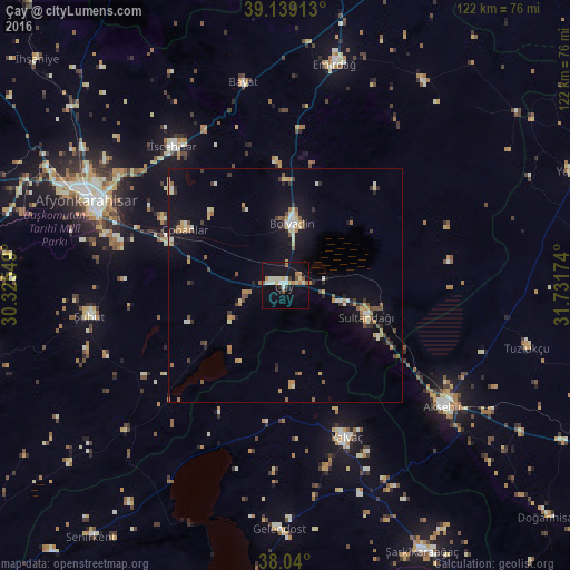
Analysis of Çay night lights 2016
Square area 10x10 km:
 1.46%
1.46%90-99
6.66%80-89
2.27%70-79
2.11%60-69
3.73%50-59
1.95%40-49
0.97%30-39
1.79%20-29
0.16%10-19
22.89%0-9
56.01%Square area 50x50 km:
0.23%90-99
0.97%80-89
0.72%70-79
0.85%60-69
0.84%50-59
0.71%40-49
0.84%30-39
0.77%20-29
0.62%10-19
4.42%0-9
89.02%Clear (daylight) street map image can be seen on geolist.org.
Map coordinates:
39° 8' 20.9" North, 30° 19' 31.8" East
38° 35' 30" North, 31° 1' 43" East
38° 2' 24" North, 31° 43' 54.3" East
Some cities around Çay sort by population:
• Afyonkarahisar
45.9 km =28.5 mi,  293°
293°
• Akşehir
42.6 km =26.5 mi,  127°
127°
• Bolvadin
13.4 km =8.3 mi,  7°
7°
• Yalvaç
35.4 km =22 mi,  158°
158°
• Şuhut
42.5 km =26.4 mi,  260°
260°
• İscehisar
38.5 km =23.9 mi,  321°
321°
• Sultandağı
18.6 km =11.6 mi,  111°
111°
• Işıklar
26.5 km =16.5 mi, 289°
319104 (p: 34,215)
Sources (retrieved 2019-11-25):
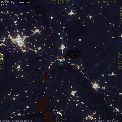
» Earth at Night: Flat Maps 2012, 2016