Douane night lights from space
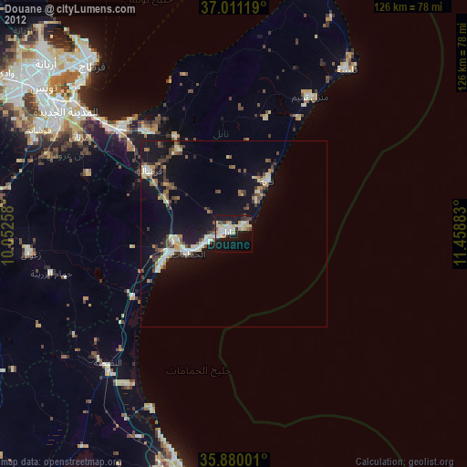
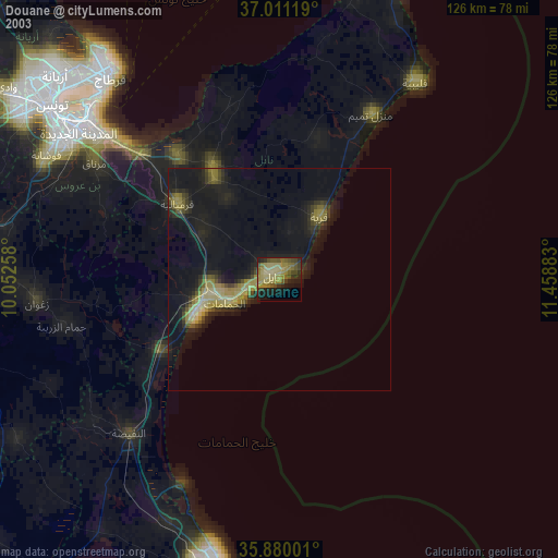
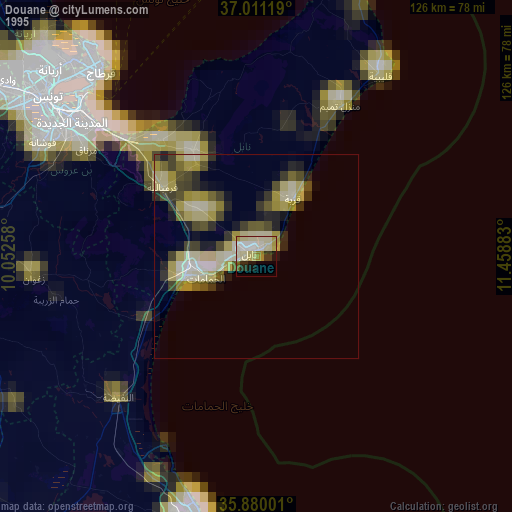
Night Light of Douane (Nābul) from space (Tunisia) Src. Average luminocity for 10x10km area is 41.9158% and for 50x50km: 8.7181%.
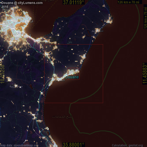
Analysis of Douane night lights 2016
Square area 10x10 km:
 8.61%
8.61%90-99
7.88%80-89
9.89%70-79
2.01%60-69
7.14%50-59
1.83%40-49
1.83%30-39
3.11%20-29
14.47%10-19
31.68%0-9
11.54%Square area 50x50 km:
1.03%90-99
1.14%80-89
1.45%70-79
0.88%60-69
1.05%50-59
0.68%40-49
0.81%30-39
1.23%20-29
2.09%10-19
10.55%0-9
79.1%Clear (daylight) street map image can be seen on geolist.org.
Map coordinates:
37° 0' 40.3" North, 10° 3' 9.3" East
36° 26' 51.6" North, 10° 45' 20.5" East
35° 52' 48" North, 11° 27' 31.8" East
Some cities around Douane sort by population:
• Nabeul
1.9 km =1.2 mi,  300°
300°
• Hammamet
13.5 km =8.4 mi,  246°
246°
• Dar Chabanne
2.3 km =1.4 mi,  350°
350°
• Korba
17.2 km =10.7 mi,  32°
32°
• Beni Khiar
3.4 km =2.1 mi,  44°
44°
• Beni Khalled
27 km =16.8 mi,  326°
326°
• Bou Arkoub
20.9 km =13 mi, 298°
• El Maamoura
4.9 km =3 mi,  66°
66°
2581754 (p: 60,192)
Sources (retrieved 2019-11-25):
» NASA, Earths city lights 1995
» NASA city lights 2003
» Earth at Night: Flat Maps 2012, 2016