Dar Chabanne night lights from space
Night Light of Dar Chabanne (Nābul) from space (Tunisia) Src. Average luminocity for 10x10km area is 43.6392% and for 50x50km: 9.3131%.
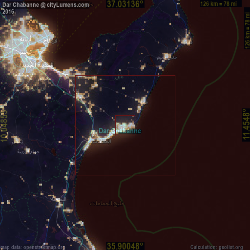
Analysis of Dar Chabanne night lights 2016
Square area 10x10 km:
 8.79%
8.79%90-99
8.24%80-89
10.07%70-79
2.38%60-69
7.14%50-59
1.83%40-49
3.3%30-39
3.11%20-29
13.37%10-19
38.46%0-9
3.3%Square area 50x50 km:
1.07%90-99
1.16%80-89
1.56%70-79
0.95%60-69
1.22%50-59
0.78%40-49
0.96%30-39
1.32%20-29
2.27%10-19
10.94%0-9
77.77%Clear (daylight) street map image can be seen on geolist.org.
Map coordinates:
37° 1' 52.9" North, 10° 2' 54.8" East
36° 28' 4.7" North, 10° 45' 6" East
35° 54' 1.7" North, 11° 27' 17.3" East
Some cities around Dar Chabanne sort by population:
• Douane
2.3 km =1.4 mi,  170°
170°
• Nabeul
1.8 km =1.1 mi,  223°
223°
• Hammamet
14.2 km =8.8 mi,  237°
237°
• Korba
15.6 km =9.7 mi,  37°
37°
• Beni Khiar
2.7 km =1.7 mi,  87°
87°
• Beni Khalled
24.9 km =15.5 mi,  324°
324°
• Bou Arkoub
19.6 km =12.2 mi,  293°
293°
• El Maamoura
4.9 km =3 mi, 93°
2471637 (p: 33,953)
Sources (retrieved 2019-11-25):
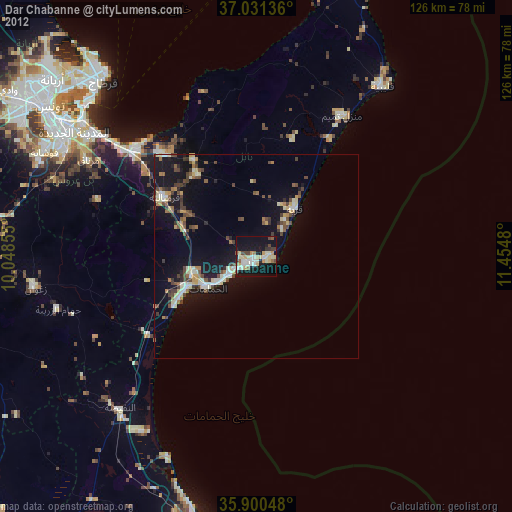
» Earth at Night: Flat Maps 2012, 2016