Manatutu night lights from space
Night Light of Manatutu (Manatuto) from space (Timor Leste) Src. Average luminocity for 10x10km area is 0.3698% and for 50x50km: 0.1093%.
Analysis of Manatutu night lights 2016
Square area 10x10 km:
 0%
0%90-99
0%80-89
0%70-79
0%60-69
0%50-59
0%40-49
0%30-39
0.83%20-29
0%10-19
0.21%0-9
98.97%Square area 50x50 km:
0%90-99
0%80-89
0%70-79
0%60-69
0%50-59
0%40-49
0.07%30-39
0.04%20-29
0.14%10-19
0.1%0-9
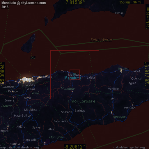
99.65%Clear (daylight) street map image can be seen on geolist.org.
Map coordinates:
7° 48' 55.4" South, 125° 18' 35.8" East
8° 30' 41" South, 126° 0' 47" East
9° 12' 22" South, 126° 42' 58.3" East
Some cities around Manatutu sort by population:
• Dili
48.6 km =30.2 mi,  263°
263°
• Likisá
74.3 km =46.2 mi, 263°
• Aileu
54.7 km =34 mi,  243°
243°
• Baukau
48.9 km =30.4 mi,  85°
85°
• Venilale
42.7 km =26.5 mi,  110°
110°
• Gleno
67.7 km =42.1 mi,  249°
249°
• Same
67.9 km =42.2 mi,  216°
216°
• Viqueque
54.5 km =33.9 mi,  134°
134°
1636526 (p: 1,924)
Sources (retrieved 2019-11-25):
» Earth at Night: Flat Maps 2012, 2016