Dili night lights from space
Night Light of Dili (Díli) from space (Timor Leste) Src. Average luminocity for 10x10km area is 41.6839% and for 50x50km: 3.004%.
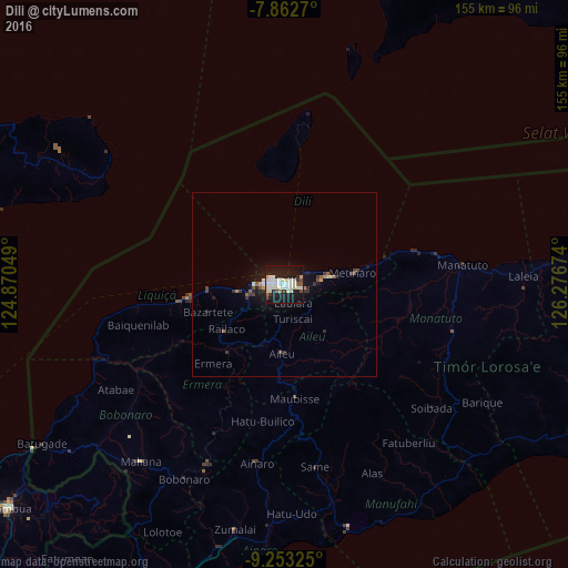
Analysis of Dili night lights 2016
Square area 10x10 km:
 10.33%
90-99
12.4%80-89
6.2%70-79
1.86%60-69
0.62%50-59
1.65%40-49
3.31%30-39
2.48%20-29
9.09%10-19
46.07%0-9
5.99%Square area 50x50 km:
0.44%90-99
0.59%80-89
0.32%70-79
0.19%60-69
0.13%50-59
0.32%40-49
0.43%30-39
0.45%20-29
0.67%10-19
3.18%0-9
93.28%Clear (daylight) street map image can be seen on geolist.org.
Map coordinates:
7° 51' 45.7" South, 124° 52' 13.8" East
8° 33' 31" South, 125° 34' 25" East
9° 15' 11.7" South, 126° 16' 36.3" East
Some cities around Dili sort by population:
• Maliana
61.9 km =38.5 mi,  218°
218°
• Likisá
25.7 km =16 mi,  262°
262°
• Aileu
18.9 km =11.7 mi,  182°
182°
• Maubara
40.8 km =25.4 mi, 261°
• Ainaro
48.8 km =30.3 mi,  188°
188°
• Gleno
23.8 km =14.8 mi, 219°
• Same
50.2 km =31.2 mi,  170°
170°
• Manatutu
48.6 km =30.2 mi,  83°
83°
1645457 (p: 150,000)
Sources (retrieved 2019-11-25):
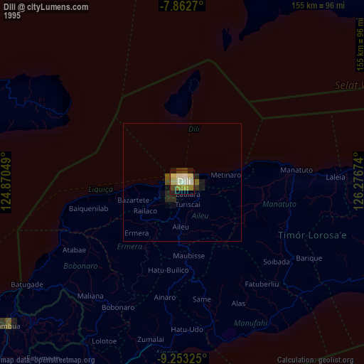
» NASA, Earths city lights 1995
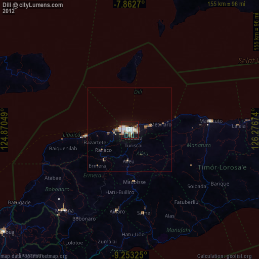
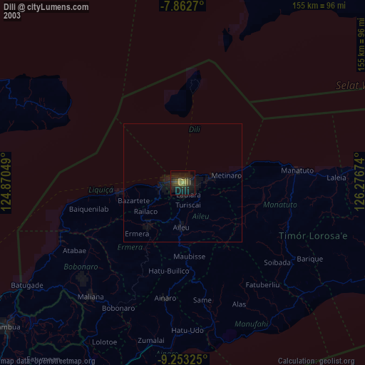
» NASA city lights 2003
» Earth at Night: Flat Maps 2012, 2016