Uthai Thani night lights from space
Night Light of Uthai Thani from space (Thailand) Src. Average luminocity for 10x10km area is 36.0346% and for 50x50km: 11.4993%.
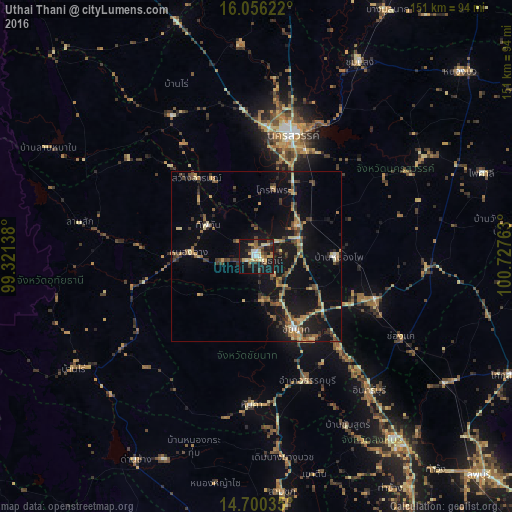
Analysis of Uthai Thani night lights 2016
Square area 10x10 km:
 3.9%
3.9%90-99
3.68%80-89
7.79%70-79
6.49%60-69
3.03%50-59
6.06%40-49
1.73%30-39
7.58%20-29
6.49%10-19
43.94%0-9
9.31%Square area 50x50 km:
0.36%90-99
0.52%80-89
1.82%70-79
1.41%60-69
1.94%50-59
2%40-49
2.29%30-39
2.36%20-29
2.27%10-19
12.37%0-9
72.66%Clear (daylight) street map image can be seen on geolist.org.
Map coordinates:
16° 3' 22.4" North, 99° 19' 17" East
15° 22' 45.8" North, 100° 1' 28.2" East
14° 42' 1.3" North, 100° 43' 39.5" East
Some cities around Uthai Thani sort by population:
• Nakhon Sawan
38.1 km =23.7 mi,  18°
18°
• Lat Yao
48.4 km =30.1 mi,  328°
328°
• Thap Than
16.9 km =10.5 mi,  302°
302°
• Chai Nat
23.9 km =14.9 mi,  153°
153°
• Doembang Nangbuat
61.3 km =38.1 mi,  172°
172°
• Lan Sak
48.8 km =30.3 mi,  279°
279°
• Phayuha Khiri
14.6 km =9.1 mi,  54°
54°
• Huai Khot
44.8 km =27.8 mi,  257°
257°
1605221 (p: 22,219)
Sources (retrieved 2019-11-25):
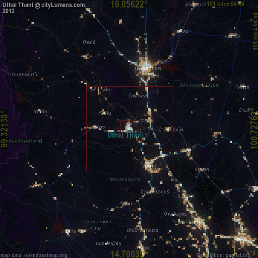
» Earth at Night: Flat Maps 2012, 2016