Phatthalung night lights from space
Night Light of Phatthalung from space (Thailand) Src. Average luminocity for 10x10km area is 42.8788% and for 50x50km: 4.4341%.
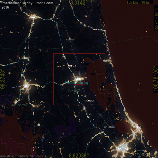
Analysis of Phatthalung night lights 2016
Square area 10x10 km:
 6.93%
6.93%90-99
6.71%80-89
2.16%70-79
8.23%60-69
9.74%50-59
8.44%40-49
3.68%30-39
1.73%20-29
9.96%10-19
38.53%0-9
3.9%Square area 50x50 km:
0.35%90-99
0.46%80-89
0.24%70-79
0.72%60-69
0.8%50-59
0.64%40-49
1.06%30-39
0.67%20-29
0.83%10-19
3.07%0-9
91.17%Clear (daylight) street map image can be seen on geolist.org.
Map coordinates:
8° 18' 51.1" North, 99° 22' 29.3" East
7° 37' 4.3" North, 100° 4' 40.5" East
6° 55' 13.4" North, 100° 46' 51.8" East
Some cities around Phatthalung sort by population:
• Ban Mai
69.1 km =42.9 mi,  131°
131°
• Songkhla
73.6 km =45.7 mi, 129°
• Trang
51.9 km =32.2 mi,  262°
262°
• Thung Song
74.9 km =46.5 mi,  324°
324°
• Ron Phibun
67.1 km =41.7 mi,  338°
338°
• Ranot
32.2 km =20 mi,  56°
56°
• Huai Yot
52.4 km =32.6 mi,  291°
291°
• Kantang
66.3 km =41.2 mi,  249°
249°
1607779 (p: 43,522)
Sources (retrieved 2019-11-25):
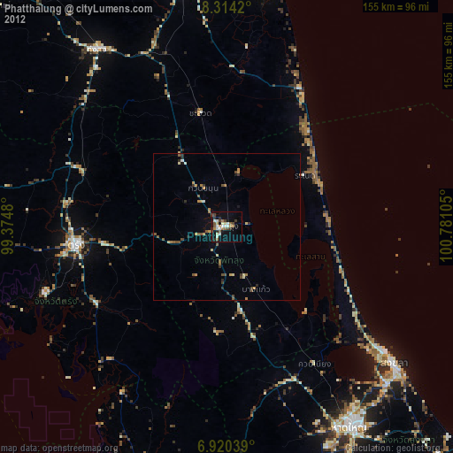
» Earth at Night: Flat Maps 2012, 2016