Ban Phai night lights from space
Night Light of Ban Phai (Khon Kaen) from space (Thailand) Src. Average luminocity for 10x10km area is 30.9959% and for 50x50km: 3.1362%.
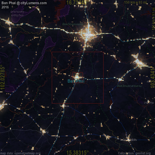
Analysis of Ban Phai night lights 2016
Square area 10x10 km:
 1.86%
1.86%90-99
3.72%80-89
7.02%70-79
3.51%60-69
5.58%50-59
3.72%40-49
7.02%30-39
4.13%20-29
4.34%10-19
32.23%0-9
26.86%Square area 50x50 km:
0.07%90-99
0.23%80-89
0.57%70-79
0.46%60-69
0.47%50-59
0.41%40-49
0.73%30-39
0.63%20-29
0.62%10-19
1.63%0-9
94.17%Clear (daylight) street map image can be seen on geolist.org.
Map coordinates:
16° 44' 4.2" North, 102° 1' 40.3" East
16° 3' 35.9" North, 102° 43' 51.5" East
15° 22' 59.3" North, 103° 26' 2.8" East
Some cities around Ban Phai sort by population:
• Khon Kaen
44.4 km =27.6 mi,  14°
14°
• Maha Sarakham
62.4 km =38.8 mi,  77°
77°
• Kaeng Khro
50.8 km =31.6 mi,  276°
276°
• Phu Khiao
73.3 km =45.5 mi,  298°
298°
• Bua Yai
62 km =38.5 mi,  211°
211°
• Phon
30.5 km =19 mi, 207°
• Kosum Phisai
41.6 km =25.8 mi,  59°
59°
• Wapi Pathum
73.1 km =45.4 mi,  109°
109°
1614455 (p: 35,583)
Sources (retrieved 2019-11-25):
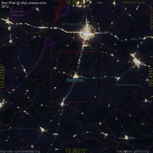
» Earth at Night: Flat Maps 2012, 2016