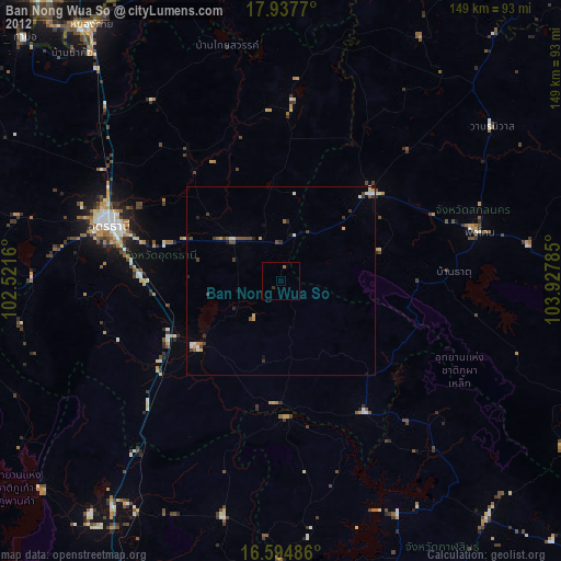
Ban Nong Wua So night lights from space
Night Light of Ban Nong Wua So (Udon Thani) from space (Thailand) Src. Average luminocity for 10x10km area is 1.7955% and for 50x50km: 2.5218%.
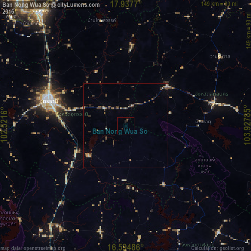
Analysis of Ban Nong Wua So night lights 2016
Square area 10x10 km:
 0%
0%90-99
0%80-89
0%70-79
0%60-69
0.83%50-59
0%40-49
0%30-39
1.65%20-29
0.62%10-19
1.86%0-9
95.04%Square area 50x50 km:
0.06%90-99
0.28%80-89
0.19%70-79
0.25%60-69
0.42%50-59
0.45%40-49
0.63%30-39
0.89%20-29
0.63%10-19
0.39%0-9
95.82%Clear (daylight) street map image can be seen on geolist.org.
Map coordinates:
17° 56' 15.7" North, 102° 31' 17.8" East
17° 16' 3" North, 103° 13' 29" East
16° 35' 41.5" North, 103° 55' 40.3" East
Some cities around Ban Nong Wua So sort by population:
• Udon Thani
49.4 km =30.7 mi,  289°
289°
• Ban Phan Don
30.2 km =18.8 mi,  242°
242°
• Kut Chap
72 km =44.7 mi,  284°
284°
• Ban Dung
48.1 km =29.9 mi,  4°
4°
• Nong Kung Si
69.1 km =42.9 mi,  173°
173°
• Sawang Daen Din
33.8 km =21 mi,  46°
46°
• Kranuan
64.3 km =40 mi,  193°
193°
• Nong Wua So
70.2 km =43.6 mi,  260°
260°
1599640 (p: 21,722)
Sources (retrieved 2019-11-25):
» Earth at Night: Flat Maps 2012, 2016