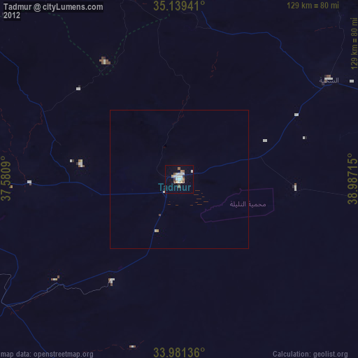
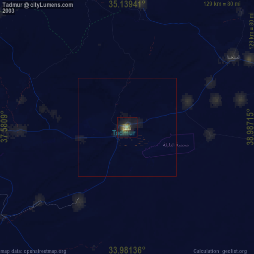
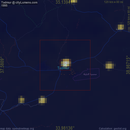
Tadmur night lights from space
Night Light of Tadmur (Homs) from space (Syria) Src. Average luminocity for 10x10km area is 0% and for 50x50km: 0.0056%.
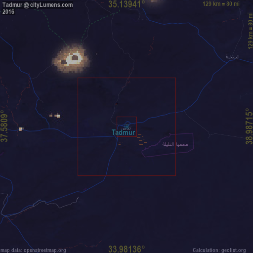
Analysis of Tadmur night lights 2016
Square area 10x10 km:
 0%
0%90-99
0%80-89
0%70-79
0%60-69
0%50-59
0%40-49
0%30-39
0%20-29
0%10-19
0%0-9
100%Square area 50x50 km:
0%90-99
0%80-89
0%70-79
0%60-69
0%50-59
0%40-49
0%30-39
0%20-29
0%10-19
0%0-9
100%Clear (daylight) street map image can be seen on geolist.org.
Map coordinates:
35° 8' 21.9" North, 37° 34' 51.2" East
34° 33' 44.6" North, 38° 17' 2.5" East
33° 58' 52.9" North, 38° 59' 13.7" East
Some cities around Tadmur sort by population:
• Homs
143.9 km =89.4 mi,  277°
277°
• As Salamīyah
123 km =76.4 mi,  293°
293°
• Ath Thawrah
143.8 km =89.4 mi,  9°
9°
• Rukban, JO
144.1 km =89.5 mi,  164°
164°
• Ar Rastan
147.4 km =91.6 mi, 285°
• Tallbīsah
145.3 km =90.3 mi, 282°
• Al Qaryatayn
102.6 km =63.8 mi,  248°
248°
• Mukharram al Fawqānī
113 km =70.2 mi, 284°
163808 (p: 51,015)
Sources (retrieved 2019-11-25):
» NASA, Earths city lights 1995
» NASA city lights 2003
» Earth at Night: Flat Maps 2012, 2016