Ḩamāh night lights from space
Night Light of Ḩamāh (Hama) from space (Syria) Src. Average luminocity for 10x10km area is 48.4073% and for 50x50km: 5.0535%.
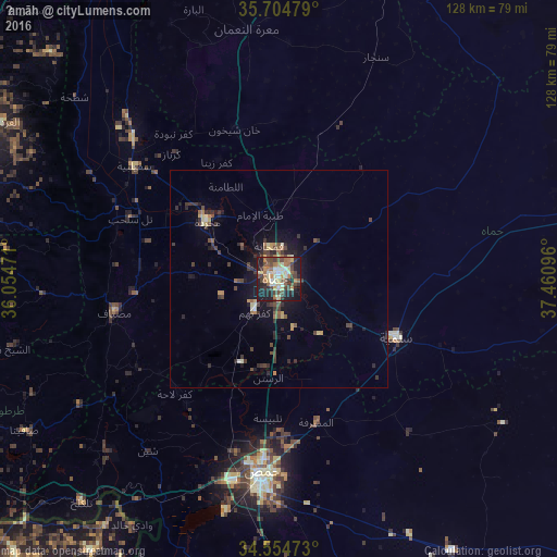
Analysis of Ḩamāh night lights 2016
Square area 10x10 km:
 0.52%
0.52%90-99
10.66%80-89
9.79%70-79
6.47%60-69
9.09%50-59
6.99%40-49
14.34%30-39
6.47%20-29
15.21%10-19
19.76%0-9
0.7%Square area 50x50 km:
0.02%90-99
0.65%80-89
0.69%70-79
0.58%60-69
0.7%50-59
0.62%40-49
1.46%30-39
1.26%20-29
1.61%10-19
3.55%0-9
88.85%Clear (daylight) street map image can be seen on geolist.org.
Map coordinates:
35° 42' 17.2" North, 36° 3' 17" East
35° 7' 54.4" North, 36° 45' 28.2" East
34° 33' 17" North, 37° 27' 39.5" East
Some cities around Ḩamāh sort by population:
• As Salamīyah
30 km =18.6 mi,  116°
116°
• Ar Rastan
22.9 km =14.2 mi,  185°
185°
• Souran
17.8 km =11.1 mi,  357°
357°
• Ţayyibat al Imām
15.5 km =9.6 mi,  344°
344°
• Ḩalfāyā
19.9 km =12.4 mi,  315°
315°
• Kafr Zaytā
30.4 km =18.9 mi,  332°
332°
• Mūrak
27.9 km =17.3 mi,  347°
347°
• Tremseh
27.8 km =17.3 mi,  304°
304°
170017 (p: 460,602)
Sources (retrieved 2019-11-25):
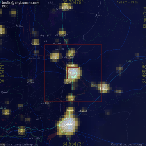
» NASA, Earths city lights 1995
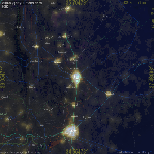
» NASA city lights 2003
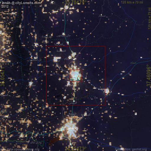
» Earth at Night: Flat Maps 2012, 2016