Dārayyā night lights from space
Night Light of Dārayyā (Rif-dimashq) from space (Syria) Src. Average luminocity for 10x10km area is 64.2832% and for 50x50km: 22.8771%.
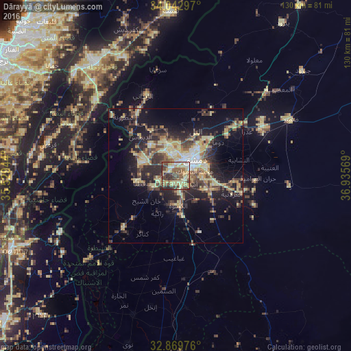
Analysis of Dārayyā night lights 2016
Square area 10x10 km:
 5.24%
5.24%90-99
7.87%80-89
22.38%70-79
9.79%60-69
8.22%50-59
13.81%40-49
17.48%30-39
11.19%20-29
4.02%10-19
0%0-9
0%Square area 50x50 km:
1.29%90-99
1.78%80-89
6.98%70-79
3.16%60-69
2.1%50-59
3.28%40-49
4.8%30-39
4.44%20-29
7.07%10-19
13.77%0-9
51.32%Clear (daylight) street map image can be seen on geolist.org.
Map coordinates:
34° 2' 34.7" North, 35° 31' 46" East
33° 27' 30.1" North, 36° 13' 57.2" East
32° 52' 11.1" North, 36° 56' 8.5" East
Some cities around Dārayyā sort by population:
• Damascus
7.9 km =4.9 mi,  43°
43°
• Douma
20.2 km =12.6 mi,  51°
51°
• At Tall
18.4 km =11.4 mi,  23°
23°
• ‘Irbīn
15.2 km =9.4 mi, 54°
• Ḩarastā
16.6 km =10.3 mi, 47°
• Al Kiswah
11.2 km =7 mi,  175°
175°
• Qaţanā
14.4 km =8.9 mi,  260°
260°
• Dayr al ‘Aşāfīr
17.4 km =10.8 mi,  87°
87°
170892 (p: 71,596)
Sources (retrieved 2019-11-25):
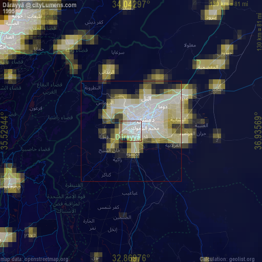
» NASA, Earths city lights 1995
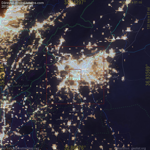
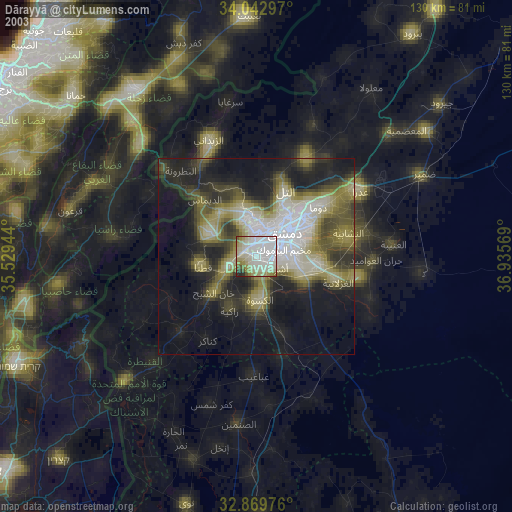
» NASA city lights 2003
» Earth at Night: Flat Maps 2012, 2016