Ţayyibat al Imām night lights from space
Night Light of Ţayyibat al Imām (Hama) from space (Syria) Src. Average luminocity for 10x10km area is 0.9196% and for 50x50km: 4.5385%.
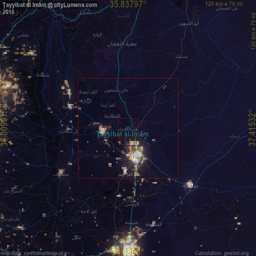
Analysis of Ţayyibat al Imām night lights 2016
Square area 10x10 km:
 0%
0%90-99
0%80-89
0%70-79
0%60-69
0%50-59
0%40-49
0%30-39
0%20-29
0%10-19
0.7%0-9
99.3%Square area 50x50 km:
0.02%90-99
0.6%80-89
0.66%70-79
0.52%60-69
0.65%50-59
0.62%40-49
1.26%30-39
1.09%20-29
1.34%10-19
3.49%0-9
89.74%Clear (daylight) street map image can be seen on geolist.org.
Map coordinates:
35° 50' 16.7" North, 36° 0' 32.7" East
35° 15' 57.3" North, 36° 42' 43.9" East
34° 41' 23.3" North, 37° 24' 55.2" East
Some cities around Ţayyibat al Imām sort by population:
• Ḩamāh
15.5 km =9.6 mi,  164°
164°
• Ar Rastan
37.8 km =23.5 mi,  177°
177°
• Khān Shaykhūn
20.4 km =12.7 mi,  344°
344°
• Souran
4.4 km =2.7 mi,  48°
48°
• Ḩalfāyā
9.7 km =6 mi,  266°
266°
• Kafr Zaytā
15.6 km =9.7 mi,  320°
320°
• Mūrak
12.4 km =7.7 mi,  350°
350°
• Tremseh
18.9 km =11.7 mi, 271°
163270 (p: 29,259)
Sources (retrieved 2019-11-25):
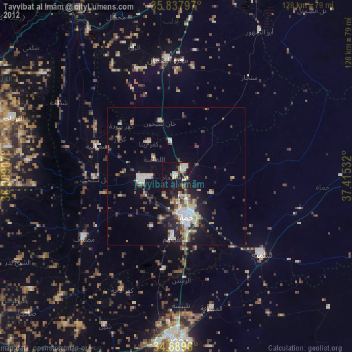
» Earth at Night: Flat Maps 2012, 2016