Monte Giardino night lights from space
Night Light of Monte Giardino (Montegiardino) from space (San Marino) Src. Average luminocity for 10x10km area is 28.5429% and for 50x50km: 19.9705%.
Analysis of Monte Giardino night lights 2016
Square area 10x10 km:
 2.86%
2.86%90-99
4.29%80-89
4.29%70-79
1.11%60-69
4.76%50-59
2.86%40-49
5.4%30-39
3.81%20-29
13.02%10-19
30.32%0-9
27.3%Square area 50x50 km:
2.92%90-99
4.02%80-89
1.4%70-79
1.61%60-69
2.14%50-59
3.19%40-49
3.73%30-39
3.74%20-29
8.6%10-19
10.56%0-9
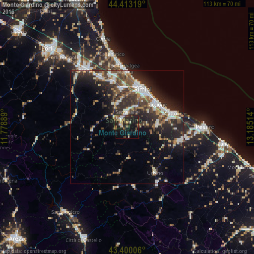
58.08%Clear (daylight) street map image can be seen on geolist.org.
Map coordinates:
44° 24' 47.5" North, 11° 46' 44" East
43° 54' 31.6" North, 12° 28' 55.2" East
43° 24' 0.2" North, 13° 11' 6.5" East
Some cities around Monte Giardino sort by population:
• Serravalle
6.7 km =4.2 mi,  359°
359°
• Borgo Maggiore
4.6 km =2.9 mi,  323°
323°
• San Marino
4.2 km =2.6 mi, 317°
• Domagnano
4.7 km =2.9 mi,  346°
346°
• Fiorentino
2 km =1.2 mi,  273°
273°
• Acquaviva
6.6 km =4.1 mi,  309°
309°
• Faetano
2.5 km =1.6 mi,  30°
30°
• Poggio di Chiesanuova
4.9 km =3 mi,  264°
264°
3172906 (p: 910)
Sources (retrieved 2019-11-25):
» Earth at Night: Flat Maps 2012, 2016