Freetown night lights from space
Night Light of Freetown (Western Area) from space (Sierra Leone) Src. Average luminocity for 10x10km area is 35.1963% and for 50x50km: 2.5352%.
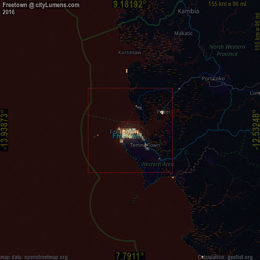
Analysis of Freetown night lights 2016
Square area 10x10 km:
 0.21%
0.21%90-99
0.62%80-89
4.96%70-79
7.44%60-69
18.18%50-59
8.88%40-49
2.69%30-39
4.55%20-29
2.89%10-19
25.62%0-9
23.97%Square area 50x50 km:
0.06%90-99
0.04%80-89
0.23%70-79
0.35%60-69
0.84%50-59
0.57%40-49
0.49%30-39
0.55%20-29
0.42%10-19
2.28%0-9
94.18%Clear (daylight) street map image can be seen on geolist.org.
Map coordinates:
9° 10' 54.9" North, 13° 56' 19.4" West
8° 29' 13.7" North, 13° 14' 8.2" West
7° 47' 28" North, 12° 31' 56.9" West
Some cities around Freetown sort by population:
• Lunsar
80.1 km =49.8 mi,  74°
74°
• Port Loko
58.3 km =36.2 mi,  57°
57°
• Waterloo
24.5 km =15.2 mi,  132°
132°
• Kambia
79 km =49.1 mi,  26°
26°
• Mambolo
52.7 km =32.7 mi,  24°
24°
• Tintafor
15.7 km =9.8 mi,  8°
8°
• Kassiri
51.9 km =32.2 mi, 14°
• Hastings
16.1 km =10 mi,  137°
137°
2409306 (p: 802,639)
Sources (retrieved 2019-11-25):
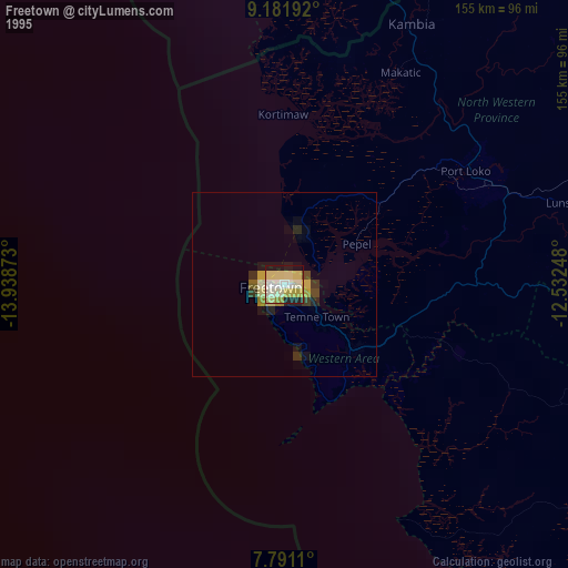
» NASA, Earths city lights 1995
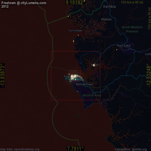
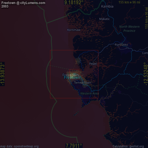
» NASA city lights 2003
» Earth at Night: Flat Maps 2012, 2016