Senica night lights from space
Night Light of Senica (Trnavský kraj) from space (Slovakia) Src. Average luminocity for 10x10km area is 11.3512% and for 50x50km: 2.632%.
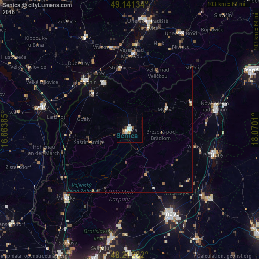
Analysis of Senica night lights 2016
Square area 10x10 km:
 2.23%
2.23%90-99
2.53%80-89
1.79%70-79
0.89%60-69
0.3%50-59
1.64%40-49
0.74%30-39
0%20-29
0.6%10-19
0.45%0-9
88.84%Square area 50x50 km:
0.36%90-99
0.44%80-89
0.25%70-79
0.21%60-69
0.28%50-59
0.45%40-49
0.34%30-39
0.35%20-29
0.37%10-19
0.72%0-9
96.25%Clear (daylight) street map image can be seen on geolist.org.
Map coordinates:
49° 8' 28.8" North, 16° 39' 49.9" East
48° 40' 45.2" North, 17° 22' 1.1" East
48° 12' 46.2" North, 18° 4' 12.4" East
Some cities around Senica sort by population:
• Hodonín, CZ
25.5 km =15.8 mi,  317°
317°
• Skalica
21.1 km =13.1 mi,  330°
330°
• Myjava
17.2 km =10.7 mi,  59°
59°
• Holíč
21 km =13 mi,  314°
314°
• Stará Turá
26.4 km =16.4 mi,  65°
65°
• Strážnice, CZ
24.9 km =15.5 mi,  351°
351°
• Brezová pod Bradlom
12.8 km =8 mi,  97°
97°
• Gbely
18.9 km =11.7 mi,  283°
283°
3057691 (p: 21,741)
Sources (retrieved 2019-11-25):
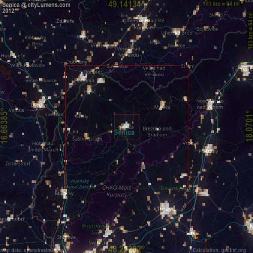
» Earth at Night: Flat Maps 2012, 2016