Čadca night lights from space
Night Light of Čadca (Žilinský kraj) from space (Slovakia) Src. Average luminocity for 10x10km area is 1.8487% and for 50x50km: 1.9945%.
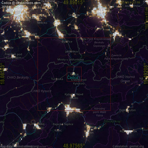
Analysis of Čadca night lights 2016
Square area 10x10 km:
 0.42%
0.42%90-99
0.14%80-89
0%70-79
0.56%60-69
0%50-59
0.28%40-49
0.84%30-39
0.56%20-29
0%10-19
0%0-9
97.2%Square area 50x50 km:
0.37%90-99
0.33%80-89
0.15%70-79
0.1%60-69
0.21%50-59
0.2%40-49
0.23%30-39
0.32%20-29
0.43%10-19
1.91%0-9
95.75%Clear (daylight) street map image can be seen on geolist.org.
Map coordinates:
49° 53' 24.5" North, 18° 5' 9" East
49° 26' 6.1" North, 18° 47' 20.2" East
48° 58' 32.3" North, 19° 29' 31.5" East
Some cities around Čadca sort by population:
• Žilina
23.8 km =14.8 mi,  188°
188°
• Třinec, CZ
28.3 km =17.6 mi,  342°
342°
• Kysucké Nové Mesto
15 km =9.3 mi,  181°
181°
• Wisła, PL
25.1 km =15.6 mi,  11°
11°
• Bytča
28.8 km =17.9 mi,  215°
215°
• Turzovka
12.5 km =7.8 mi,  254°
254°
• Jablunkov, CZ
15.9 km =9.9 mi,  353°
353°
• Bystřice, CZ
22.9 km =14.2 mi, 347°
3060835 (p: 24,670)
Sources (retrieved 2019-11-25):
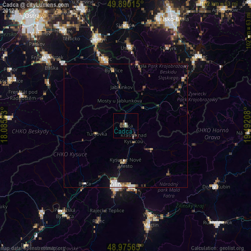
» Earth at Night: Flat Maps 2012, 2016