Veržej night lights from space
Night Light of Veržej from space (Slovenia) Src. Average luminocity for 10x10km area is 3.3182% and for 50x50km: 3.4593%.
Analysis of Veržej night lights 2016
Square area 10x10 km:
 0%
0%90-99
0%80-89
0.28%70-79
0.28%60-69
0.28%50-59
1.7%40-49
0%30-39
0%20-29
0.28%10-19
1.14%0-9
96.02%Square area 50x50 km:
0.36%90-99
0.54%80-89
0.3%70-79
0.22%60-69
0.34%50-59
0.71%40-49
0.64%30-39
0.63%20-29
0.62%10-19
1%0-9
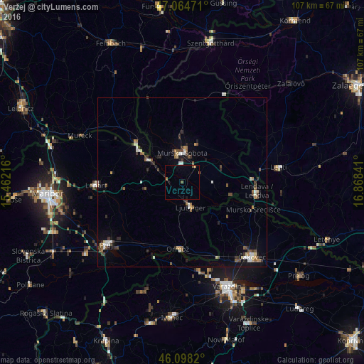
94.64%Clear (daylight) street map image can be seen on geolist.org.
Map coordinates:
47° 3' 53" North, 15° 27' 43.8" East
46° 35' 1" North, 16° 9' 55" East
46° 5' 53.5" North, 16° 52' 6.3" East
Some cities around Veržej sort by population:
• Murska Sobota
8.8 km =5.5 mi,  0°
0°
• Ljutomer
7.4 km =4.6 mi,  160°
160°
• Beltinci
6.2 km =3.9 mi,  67°
67°
• Odranci
8.8 km =5.5 mi,  87°
87°
• Črenšovci
11 km =6.8 mi,  105°
105°
• Križevci pri Ljutomeru
2.7 km =1.7 mi,  230°
230°
• Tišina
10 km =6.2 mi,  325°
325°
• Sveti Jurij ob Ščavnici
11 km =6.8 mi,  261°
261°
3187840 (p: 903)
Sources (retrieved 2019-11-25):
» Earth at Night: Flat Maps 2012, 2016