Trebnje night lights from space
Night Light of Trebnje from space (Slovenia) Src. Average luminocity for 10x10km area is 2.4033% and for 50x50km: 1.4538%.
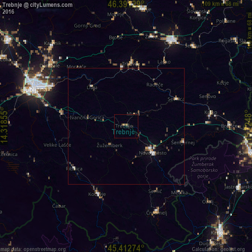
Analysis of Trebnje night lights 2016
Square area 10x10 km:
 0%
0%90-99
0%80-89
0%70-79
1.19%60-69
0%50-59
0.74%40-49
0.45%30-39
0%20-29
2.23%10-19
0.15%0-9
95.24%Square area 50x50 km:
0.14%90-99
0.17%80-89
0.07%70-79
0.2%60-69
0.26%50-59
0.19%40-49
0.31%30-39
0.26%20-29
0.37%10-19
0.41%0-9
97.61%Clear (daylight) street map image can be seen on geolist.org.
Map coordinates:
46° 23' 28.6" North, 14° 19' 6.8" East
45° 54' 15" North, 15° 1' 18" East
45° 24' 45.9" North, 15° 43' 29.3" East
Some cities around Trebnje sort by population:
• Novo Mesto
15.9 km =9.9 mi,  134°
134°
• Straža
14.4 km =8.9 mi,  164°
164°
• Mirna
6.5 km =4 mi,  28°
28°
• Žužemberk
10.6 km =6.6 mi,  222°
222°
• Mirna Peč
6.8 km =4.2 mi,  135°
135°
• Dolenjske Toplice
16.7 km =10.4 mi,  169°
169°
• Mokronog
9.8 km =6.1 mi,  70°
70°
• Šentrupert
10 km =6.2 mi, 34°
3188886 (p: 3,477)
Sources (retrieved 2019-11-25):
» Earth at Night: Flat Maps 2012, 2016