Stockholm night lights from space
Night Light of Stockholm from space (Sweden) Src. Average luminocity for 10x10km area is 95.1613% and for 50x50km: 39.9627%.
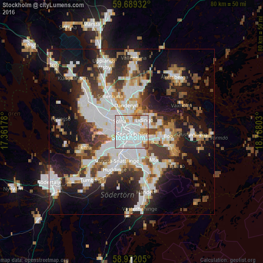
Analysis of Stockholm night lights 2016
Square area 10x10 km:
 61.26%
90-99
24.13%80-89
3.14%70-79
5.52%60-69
2.6%50-59
2.38%40-49
0.97%30-39
0%20-29
0%10-19
0%0-9
0%Square area 50x50 km:
11.95%90-99
9.84%80-89
2.97%70-79
3.64%60-69
3.52%50-59
3.61%40-49
4.59%30-39
4.45%20-29
8.32%10-19
16.68%0-9
30.44%Clear (daylight) street map image can be seen on geolist.org.
Map coordinates:
59° 41' 21.6" North, 17° 21' 42.4" East
59° 19' 57.3" North, 18° 3' 53.6" East
58° 58' 19.4" North, 18° 46' 4.9" East
Some cities around Stockholm sort by population:
• Södermalm
2.3 km =1.4 mi,  164°
164°
• Kungsholmen
1.3 km =0.8 mi,  266°
266°
• Solna
4.7 km =2.9 mi,  310°
310°
• Vasastan
1.7 km =1.1 mi,  329°
329°
• Lidingö
5.4 km =3.4 mi,  45°
45°
• Östermalm
1.3 km =0.8 mi,  58°
58°
• Råsunda
5.4 km =3.4 mi, 313°
• Årsta
3.9 km =2.4 mi,  191°
191°
2673730 (p: 1,515,017)
Sources (retrieved 2019-11-25):
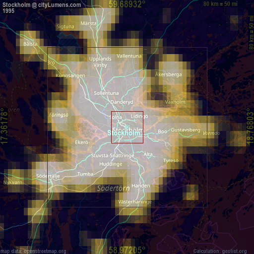
» NASA, Earths city lights 1995
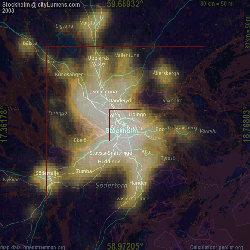
» NASA city lights 2003
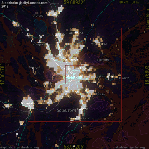
» Earth at Night: Flat Maps 2012, 2016