Lidingö night lights from space
Night Light of Lidingö (Stockholm) from space (Sweden) Src. Average luminocity for 10x10km area is 71.5487% and for 50x50km: 37.9133%.
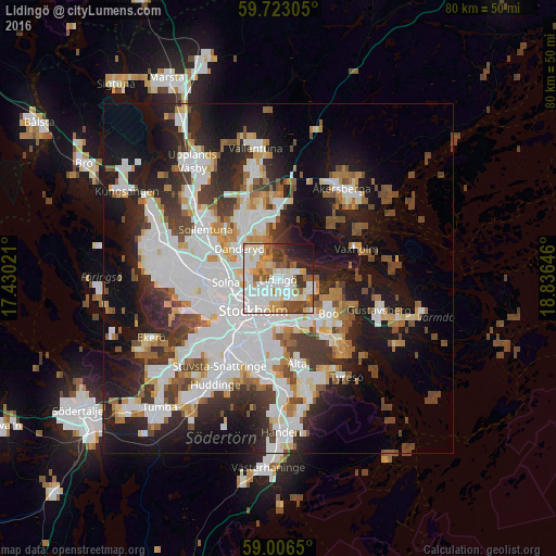
Analysis of Lidingö night lights 2016
Square area 10x10 km:
 23.48%
90-99
19.91%80-89
7.03%70-79
9.85%60-69
5.74%50-59
7.25%40-49
6.39%30-39
6.06%20-29
7.68%10-19
6.06%0-9
0.54%Square area 50x50 km:
11.17%90-99
9.25%80-89
2.86%70-79
3.44%60-69
3.37%50-59
3.51%40-49
4.66%30-39
4.43%20-29
7.87%10-19
15.64%0-9
33.81%Clear (daylight) street map image can be seen on geolist.org.
Map coordinates:
59° 43' 23" North, 17° 25' 48.8" East
59° 22' 0" North, 18° 7' 60" East
59° 0' 23.4" North, 18° 50' 11.3" East
Some cities around Lidingö sort by population:
• Stockholm
5.4 km =3.4 mi,  225°
225°
• Kungsholmen
6.5 km =4 mi, 233°
• Vasastan
5.3 km =3.3 mi,  243°
243°
• Östermalm
4.1 km =2.5 mi,  221°
221°
• Nacka
6.5 km =4 mi,  164°
164°
• Djursholm
5.7 km =3.5 mi,  309°
309°
• Brevik
4.2 km =2.6 mi,  116°
116°
• Bergshamra
5.8 km =3.6 mi,  285°
285°
2696334 (p: 42,466)
Sources (retrieved 2019-11-25):
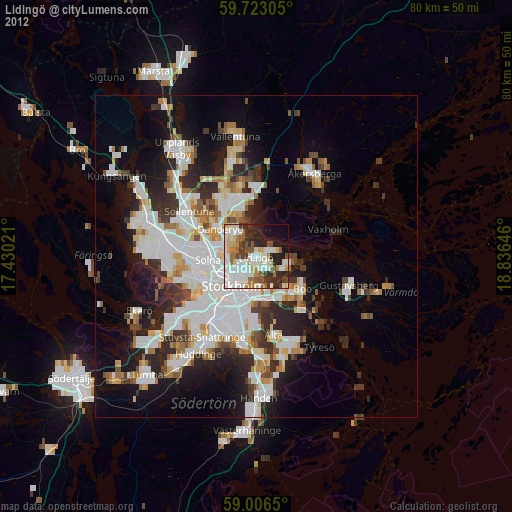
» Earth at Night: Flat Maps 2012, 2016