Östermalm night lights from space
Night Light of Östermalm (Stockholm) from space (Sweden) Src. Average luminocity for 10x10km area is 92.1861% and for 50x50km: 39.4309%.
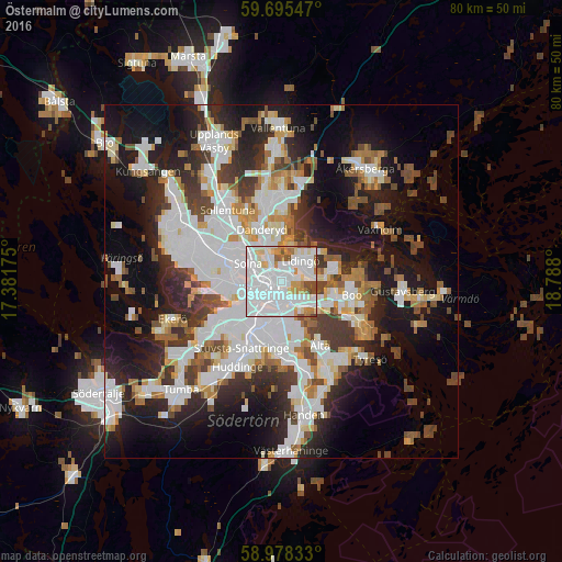
Analysis of Östermalm night lights 2016
Square area 10x10 km:
 51.52%
90-99
25.43%80-89
5.74%70-79
6.93%60-69
3.9%50-59
3.03%40-49
3.25%30-39
0.22%20-29
0%10-19
0%0-9
0%Square area 50x50 km:
11.68%90-99
9.65%80-89
2.95%70-79
3.58%60-69
3.49%50-59
3.61%40-49
4.68%30-39
4.45%20-29
8.2%10-19
16.55%0-9
31.16%Clear (daylight) street map image can be seen on geolist.org.
Map coordinates:
59° 41' 43.7" North, 17° 22' 54.3" East
59° 20' 19.6" North, 18° 5' 5.5" East
58° 58' 42" North, 18° 47' 16.8" East
Some cities around Östermalm sort by population:
• Stockholm
1.3 km =0.8 mi,  238°
238°
• Södermalm
2.9 km =1.8 mi,  190°
190°
• Kungsholmen
2.6 km =1.6 mi,  252°
252°
• Solna
5.3 km =3.3 mi,  296°
296°
• Vasastan
2.1 km =1.3 mi,  291°
291°
• Lidingö
4.1 km =2.5 mi,  41°
41°
• Nacka
5.5 km =3.4 mi,  125°
125°
• Årsta
4.9 km =3 mi,  202°
202°
2685828 (p: 36,418)
Sources (retrieved 2019-11-25):
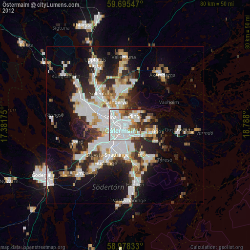
» Earth at Night: Flat Maps 2012, 2016