Nacka night lights from space
Night Light of Nacka (Stockholm) from space (Sweden) Src. Average luminocity for 10x10km area is 77.3571% and for 50x50km: 36.7703%.
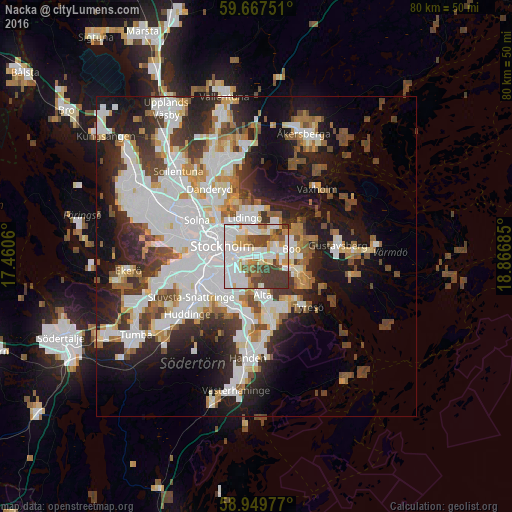
Analysis of Nacka night lights 2016
Square area 10x10 km:
100  30.19%
90-99 19.26%
80-89 5.95%
70-79 9.74%
60-69 5.74%
50-59 4.65%
40-49 11.15%
30-39 13.1%
20-29 0.22%
10-19 0%
0-9 0%
30.19%90-99
19.26%80-89
5.95%70-79
9.74%60-69
5.74%50-59
4.65%40-49
11.15%30-39
13.1%20-29
0.22%10-19
0%0-9
0%Square area 50x50 km:
100 11.12%
90-99 9.29%
80-89 2.69%
70-79 3.38%
60-69 3.19%
50-59 3.25%
40-49 4.6%
30-39 4.39%
20-29 7.1%
10-19 13.74%
0-9 37.24%
11.12%90-99
9.29%80-89
2.69%70-79
3.38%60-69
3.19%50-59
3.25%40-49
4.6%30-39
4.39%20-29
7.1%10-19
13.74%0-9
37.24%Clear (daylight) street map image can be seen on geolist.org.
Map coordinates:
59° 40' 3" North, 17° 27' 38.2" East
59° 18' 37.9" North, 18° 9' 49.4" East
58° 56' 59.2" North, 18° 52' 0.7" East
Some cities around Nacka sort by population:
• Stockholm
6.1 km =3.8 mi,  293°
293°
• Södermalm
5 km =3.1 mi,  272°
272°
• Lidingö
6.5 km =4 mi,  344°
344°
• Östermalm
5.5 km =3.4 mi,  305°
305°
• Årsta
6.5 km =4 mi,  257°
257°
• Älta
5 km =3.1 mi,  167°
167°
• Fisksätra
5.6 km =3.5 mi,  112°
112°
• Brevik
4.8 km =3 mi,  25°
25°
2690580 (p: 25,170)
Sources (retrieved 2019-11-25):
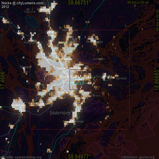
» Earth at Night: Flat Maps 2012, 2016