Ljungby night lights from space
Night Light of Ljungby (Kronoberg) from space (Sweden) Src. Average luminocity for 10x10km area is 19.4179% and for 50x50km: 1.0627%.
Analysis of Ljungby night lights 2016
Square area 10x10 km:
 5.24%
5.24%90-99
4.76%80-89
1.31%70-79
2.02%60-69
1.19%50-59
1.07%40-49
0.12%30-39
0.48%20-29
0%10-19
25.83%0-9
57.98%Square area 50x50 km:
0.24%90-99
0.19%80-89
0.09%70-79
0.1%60-69
0.08%50-59
0.13%40-49
0.08%30-39
0.08%20-29
0.05%10-19
1.01%0-9
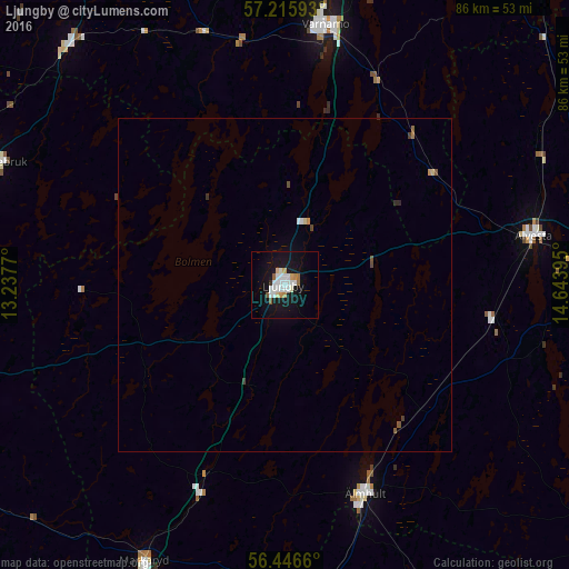
97.97%Clear (daylight) street map image can be seen on geolist.org.
Map coordinates:
57° 12' 57.3" North, 13° 14' 15.7" East
56° 49' 59.7" North, 13° 56' 27" East
56° 26' 47.8" North, 14° 38' 38.2" East
Some cities around Ljungby sort by population:
• Växjö
53 km =32.9 mi,  84°
84°
• Värnamo
39.7 km =24.7 mi,  8°
8°
• Gislaved
57.7 km =35.9 mi,  335°
335°
• Älmhult
33.6 km =20.9 mi,  158°
158°
• Alvesta
38.1 km =23.7 mi, 78°
• Osby
50.3 km =31.3 mi,  176°
176°
• Laholm
65.4 km =40.6 mi,  236°
236°
• Anderstorp
53.4 km =33.2 mi, 339°
2694560 (p: 15,785)
Sources (retrieved 2019-11-25):
» Earth at Night: Flat Maps 2012, 2016