Bunkeflostrand night lights from space
Night Light of Bunkeflostrand (Skåne) from space (Sweden) Src. Average luminocity for 10x10km area is 43.0113% and for 50x50km: 18.4521%.
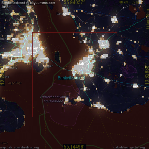
Analysis of Bunkeflostrand night lights 2016
Square area 10x10 km:
 16.79%
90-99
10.65%80-89
4.01%70-79
1.13%60-69
3.01%50-59
2.38%40-49
1.63%30-39
5.51%20-29
9.02%10-19
18.55%0-9
27.32%Square area 50x50 km:
6.23%90-99
4.27%80-89
1.18%70-79
0.87%60-69
0.98%50-59
0.85%40-49
1.32%30-39
2.22%20-29
5.68%10-19
10.96%0-9
65.44%Clear (daylight) street map image can be seen on geolist.org.
Map coordinates:
55° 56' 26.1" North, 12° 13' 14.3" East
55° 32' 41.2" North, 12° 55' 25.5" East
55° 8' 41.9" North, 13° 37' 36.8" East
Some cities around Bunkeflostrand sort by population:
• Malmö
8.3 km =5.2 mi,  35°
35°
• Höllviken
15.1 km =9.4 mi,  172°
172°
• Oxie
10.9 km =6.8 mi,  92°
92°
• Lomma
16.9 km =10.5 mi,  32°
32°
• Dragør, DK
16.7 km =10.4 mi,  288°
288°
• Arlöv
13.5 km =8.4 mi, 43°
• Skanör med Falsterbo
16.8 km =10.4 mi,  196°
196°
• Vellinge
10.2 km =6.3 mi,  143°
143°
2718759 (p: 13,048)
Sources (retrieved 2019-11-25):
» Earth at Night: Flat Maps 2012, 2016