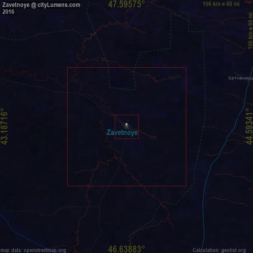
Zavetnoye night lights from space
Night Light of Zavetnoye (Rostov) from space (Russia) Src. Average luminocity for 10x10km area is 0.4702% and for 50x50km: 0.0194%.
Analysis of Zavetnoye night lights 2016
Square area 10x10 km:
 0%
0%90-99
0%80-89
0%70-79
0.14%60-69
0.43%50-59
0%40-49
0%30-39
0%20-29
0%10-19
0.57%0-9
98.86%Square area 50x50 km:
0%90-99
0%80-89
0%70-79
0.01%60-69
0.02%50-59
0%40-49
0%30-39
0%20-29
0%10-19
0.02%0-9
99.95%Clear (daylight) street map image can be seen on geolist.org.
Map coordinates:
47° 35' 44.7" North, 43° 11' 13.8" East
47° 7' 10" North, 43° 53' 25" East
46° 38' 19.8" North, 44° 35' 36.3" East
Some cities around Zavetnoye sort by population:
• Elista
94.5 km =58.7 mi,  162°
162°
• Kotel’nikovo
80.1 km =49.8 mi,  315°
315°
• Zimovniki
107.3 km =66.7 mi,  271°
271°
• Troitskoye
82.6 km =51.3 mi, 160°
• Dubovskoye
90.7 km =56.4 mi,  291°
291°
• Remontnoye
64.7 km =40.2 mi,  196°
196°
• Sadovoye
87.2 km =54.2 mi,  32°
32°
• Malyye Derbety
110.2 km =68.5 mi, 32°
464179 (p: 6,711)
Sources (retrieved 2019-11-25):
» Earth at Night: Flat Maps 2012, 2016