Troitskoye night lights from space
Night Light of Troitskoye (Kalmykiya Republic) from space (Russia) Src. Average luminocity for 10x10km area is 3.9955% and for 50x50km: 1.4479%.
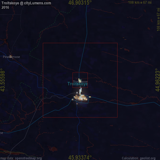
Analysis of Troitskoye night lights 2016
Square area 10x10 km:
 0%
0%90-99
0.45%80-89
0.74%70-79
0.89%60-69
0.3%50-59
0%40-49
0.6%30-39
0.6%20-29
0.89%10-19
0.45%0-9
95.09%Square area 50x50 km:
0.12%90-99
0.25%80-89
0.16%70-79
0.17%60-69
0.22%50-59
0.21%40-49
0.18%30-39
0.08%20-29
0.15%10-19
1.49%0-9
96.97%Clear (daylight) street map image can be seen on geolist.org.
Map coordinates:
46° 54' 11.3" North, 43° 33' 21.5" East
46° 25' 14.2" North, 44° 15' 32.8" East
45° 56' 1.5" North, 44° 57' 44" East
Some cities around Troitskoye sort by population:
• Elista
12.5 km =7.8 mi,  181°
181°
• Ipatovo
130.5 km =81.1 mi,  233°
233°
• Arzgir
116.5 km =72.4 mi, 181°
• Divnoye
89.9 km =55.9 mi, 230°
• Remontnoye
49.2 km =30.6 mi,  288°
288°
• Yashkul’
87.8 km =54.6 mi,  108°
108°
• Zavetnoye
82.6 km =51.3 mi,  340°
340°
• Priyutnoye
67.8 km =42.1 mi,  238°
238°
481542 (p: 10,025)
Sources (retrieved 2019-11-25):
» Earth at Night: Flat Maps 2012, 2016