Elista night lights from space
Night Light of Elista (Kalmykiya Republic) from space (Russia) Src. Average luminocity for 10x10km area is 26.0223% and for 50x50km: 1.475%.
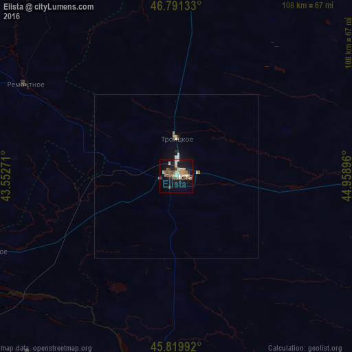
Analysis of Elista night lights 2016
Square area 10x10 km:
 2.08%
2.08%90-99
4.76%80-89
2.38%70-79
3.42%60-69
5.36%50-59
4.32%40-49
3.87%30-39
1.49%20-29
2.53%10-19
30.06%0-9
39.73%Square area 50x50 km:
0.12%90-99
0.26%80-89
0.16%70-79
0.17%60-69
0.23%50-59
0.21%40-49
0.18%30-39
0.08%20-29
0.15%10-19
1.52%0-9
96.91%Clear (daylight) street map image can be seen on geolist.org.
Map coordinates:
46° 47' 28.8" North, 43° 33' 9.8" East
46° 18' 28" North, 44° 15' 21" East
45° 49' 11.7" North, 44° 57' 32.3" East
Some cities around Elista sort by population:
• Ipatovo
123.3 km =76.6 mi,  237°
237°
• Arzgir
104 km =64.6 mi,  181°
181°
• Divnoye
82.4 km =51.2 mi, 237°
• Troitskoye
12.5 km =7.8 mi,  1°
1°
• Remontnoye
54.3 km =33.7 mi,  301°
301°
• Yashkul’
85 km =52.8 mi,  100°
100°
• Zavetnoye
94.5 km =58.7 mi,  342°
342°
• Priyutnoye
62 km =38.5 mi,  248°
248°
563514 (p: 106,971)
Sources (retrieved 2019-11-25):
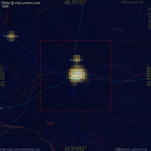
» NASA, Earths city lights 1995
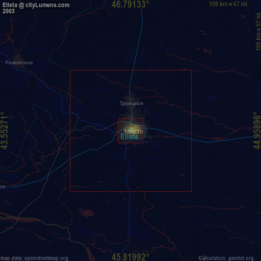
» NASA city lights 2003
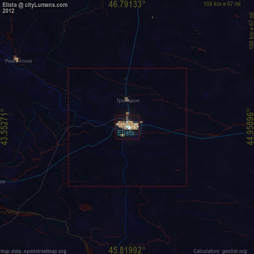
» Earth at Night: Flat Maps 2012, 2016