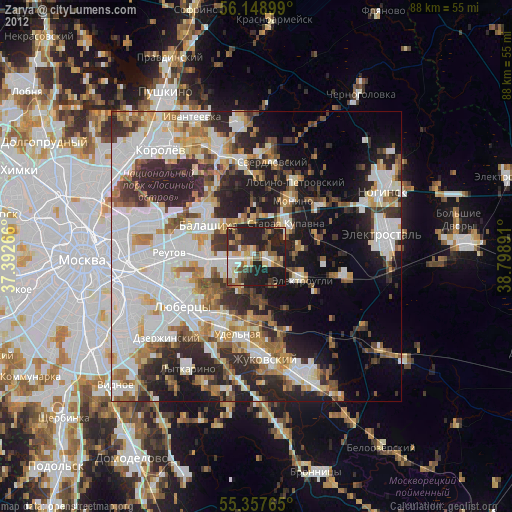
Zarya night lights from space
Night Light of Zarya (Moscow Oblast) from space (Russia) Src. Average luminocity for 10x10km area is 48.7943% and for 50x50km: 49.6421%.
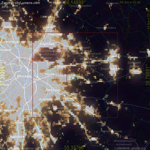
Analysis of Zarya night lights 2016
Square area 10x10 km:
 6.58%
6.58%90-99
9.33%80-89
6.22%70-79
6.34%60-69
5.5%50-59
7.89%40-49
5.98%30-39
10.41%20-29
31.7%10-19
10.05%0-9
0%Square area 50x50 km:
16.93%90-99
11.03%80-89
4.08%70-79
4.84%60-69
5.12%50-59
4.42%40-49
5.41%30-39
7.49%20-29
10.12%10-19
8.23%0-9
22.32%Clear (daylight) street map image can be seen on geolist.org.
Map coordinates:
56° 8' 56.4" North, 37° 23' 33.6" East
55° 45' 19.2" North, 38° 5' 44.8" East
55° 21' 27.5" North, 38° 47' 56.1" East
Some cities around Zarya sort by population:
• Balashikha
10.5 km =6.5 mi,  304°
304°
• Zheleznodorozhnyy
5.1 km =3.2 mi,  255°
255°
• Staraya Kupavna
7.9 km =4.9 mi,  42°
42°
• Elektrougli
7.9 km =4.9 mi,  115°
115°
• Monino
11.5 km =7.1 mi,  32°
32°
• Malakhovka
12.8 km =8 mi,  200°
200°
• Kupavna
2.5 km =1.6 mi, 115°
• Korenëvo
10.8 km =6.7 mi,  210°
210°
7117880 (p: 27,000)
Sources (retrieved 2019-11-25):
» Earth at Night: Flat Maps 2012, 2016