Yetkul’ night lights from space
Night Light of Yetkul’ (Chelyabinsk) from space (Russia) Src. Average luminocity for 10x10km area is 3.1268% and for 50x50km: 3.2813%.
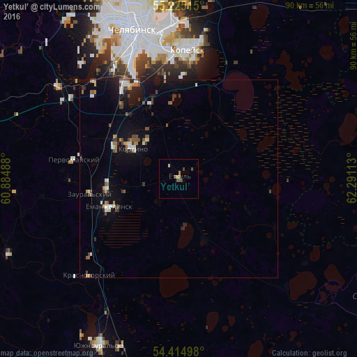
Analysis of Yetkul’ night lights 2016
Square area 10x10 km:
 0%
0%90-99
0%80-89
0.48%70-79
0.84%60-69
1.08%50-59
0%40-49
2.03%30-39
0.36%20-29
0%10-19
0%0-9
95.22%Square area 50x50 km:
0.39%90-99
0.44%80-89
0.23%70-79
0.26%60-69
0.45%50-59
0.42%40-49
0.64%30-39
0.5%20-29
0.4%10-19
2.51%0-9
93.78%Clear (daylight) street map image can be seen on geolist.org.
Map coordinates:
55° 13' 30.5" North, 60° 53' 5.6" East
54° 49' 19.6" North, 61° 35' 16.8" East
54° 24' 53.9" North, 62° 17' 28.1" East
Some cities around Yetkul’ sort by population:
• Kopeysk
32.9 km =20.4 mi,  4°
4°
• Korkino
14.4 km =8.9 mi,  302°
302°
• Yemanzhelinsk
18.7 km =11.6 mi,  246°
246°
• Novosineglazovskiy
27.7 km =17.2 mi,  330°
330°
• Roza
13.4 km =8.3 mi,  321°
321°
• Bazhovo
26.4 km =16.4 mi, 2°
• Starokamyshinsk
24.1 km =15 mi,  359°
359°
• Zheleznodorozhnyy
31.2 km =19.4 mi, 355°
1485849 (p: 6,163)
Sources (retrieved 2019-11-25):
» Earth at Night: Flat Maps 2012, 2016