Yuryuzan’ night lights from space
Night Light of Yuryuzan’ (Chelyabinsk) from space (Russia) Src. Average luminocity for 10x10km area is 9.4498% and for 50x50km: 1.5631%.
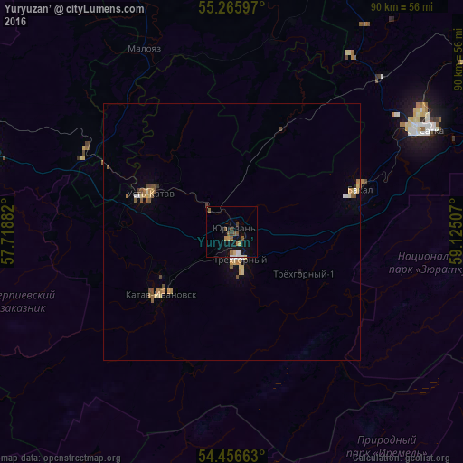
Analysis of Yuryuzan’ night lights 2016
Square area 10x10 km:
 1.67%
1.67%90-99
0.48%80-89
0.84%70-79
0.96%60-69
1.67%50-59
1.79%40-49
2.03%30-39
0.84%20-29
0%10-19
7.54%0-9
82.18%Square area 50x50 km:
0.14%90-99
0.11%80-89
0.3%70-79
0.23%60-69
0.25%50-59
0.33%40-49
0.31%30-39
0.08%20-29
0.02%10-19
0.49%0-9
97.74%Clear (daylight) street map image can be seen on geolist.org.
Map coordinates:
55° 15' 57.5" North, 57° 43' 7.8" East
54° 51' 48" North, 58° 25' 19" East
54° 27' 23.9" North, 59° 7' 30.3" East
Some cities around Yuryuzan’ sort by population:
• Satka
44.2 km =27.5 mi,  63°
63°
• Trëkhgornyy
5.9 km =3.7 mi,  156°
156°
• Ust’-Katav
17.7 km =11 mi,  297°
297°
• Bakal
26.2 km =16.3 mi,  70°
70°
• Katav-Ivanovsk
19 km =11.8 mi,  229°
229°
• Sim
48.4 km =30.1 mi,  287°
287°
• Berdyaush
56.9 km =35.4 mi,  54°
54°
• Kropachëvo
32.1 km =19.9 mi, 300°
466200 (p: 13,424)
Sources (retrieved 2019-11-25):
» Earth at Night: Flat Maps 2012, 2016