Ust’-Katav night lights from space
Night Light of Ust’-Katav (Chelyabinsk) from space (Russia) Src. Average luminocity for 10x10km area is 9.122% and for 50x50km: 1.4366%.
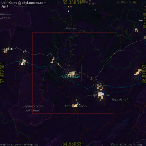
Analysis of Ust’-Katav night lights 2016
Square area 10x10 km:
 0.24%
0.24%90-99
0.72%80-89
1.79%70-79
0.72%60-69
1.67%50-59
2.75%40-49
2.63%30-39
0.96%20-29
0%10-19
0.12%0-9
88.4%Square area 50x50 km:
0.11%90-99
0.07%80-89
0.31%70-79
0.19%60-69
0.23%50-59
0.31%40-49
0.35%30-39
0.11%20-29
0%10-19
0.47%0-9
97.85%Clear (daylight) street map image can be seen on geolist.org.
Map coordinates:
55° 20' 18.6" North, 57° 28' 21.3" East
54° 56' 11.8" North, 58° 10' 32.5" East
54° 31' 50.3" North, 58° 52' 43.8" East
Some cities around Ust’-Katav sort by population:
• Satka
56.4 km =35 mi,  77°
77°
• Trëkhgornyy
22.6 km =14 mi,  126°
126°
• Asha
58.1 km =36.1 mi,  276°
276°
• Bakal
40.4 km =25.1 mi,  89°
89°
• Katav-Ivanovsk
20.4 km =12.7 mi,  176°
176°
• Sim
31.1 km =19.3 mi, 281°
• Yuryuzan’
17.7 km =11 mi,  117°
117°
• Kropachëvo
14.5 km =9 mi,  304°
304°
478071 (p: 25,046)
Sources (retrieved 2019-11-25):
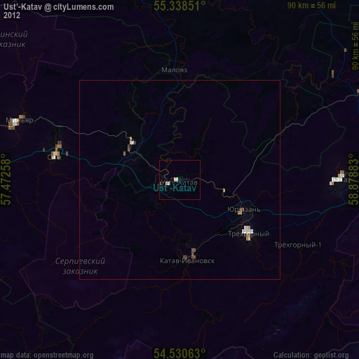
» Earth at Night: Flat Maps 2012, 2016