Ytyk-Kyuyël’ night lights from space
Night Light of Ytyk-Kyuyël’ (Sakha) from space (Russia) Src. Average luminocity for 10x10km area is 4.2795% and for 50x50km: 0.1991%.
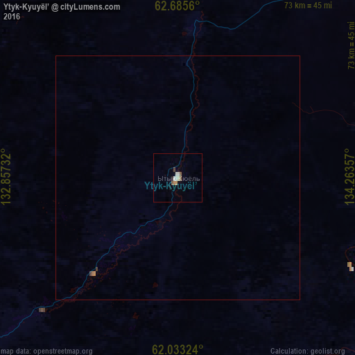
Analysis of Ytyk-Kyuyël’ night lights 2016
Square area 10x10 km:
 0.72%
0.72%90-99
0.93%80-89
0.41%70-79
0.31%60-69
0.52%50-59
0.83%40-49
0.52%30-39
0.31%20-29
0.31%10-19
0.52%0-9
94.62%Square area 50x50 km:
0.03%90-99
0.04%80-89
0.02%70-79
0.03%60-69
0.04%50-59
0.03%40-49
0.02%30-39
0.04%20-29
0.01%10-19
0.02%0-9
99.73%Clear (daylight) street map image can be seen on geolist.org.
Map coordinates:
62° 41' 8.2" North, 132° 51' 26.4" East
62° 21' 40.3" North, 133° 33' 37.6" East
62° 1' 59.7" North, 134° 15' 48.9" East
Some cities around Ytyk-Kyuyël’ sort by population:
• Yakutsk
201.8 km =125.4 mi,  259°
259°
• Markha
199.5 km =124 mi, 262°
• Zhatay
194.4 km =120.8 mi, 263°
• Churapcha
71 km =44.1 mi,  235°
235°
• Khandyga
108 km =67.1 mi,  72°
72°
• Mayya
184.4 km =114.6 mi,  247°
247°
• Amga
182.7 km =113.5 mi,  207°
207°
• Borogontsy
127.7 km =79.3 mi,  285°
285°
2012874 (p: 7,023)
Sources (retrieved 2019-11-25):
» Earth at Night: Flat Maps 2012, 2016