Khandyga night lights from space
Night Light of Khandyga (Sakha) from space (Russia) Src. Average luminocity for 10x10km area is 4.4256% and for 50x50km: 0.1789%.
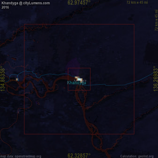
Analysis of Khandyga night lights 2016
Square area 10x10 km:
 0.89%
0.89%90-99
0.69%80-89
0.2%70-79
0.6%60-69
0.99%50-59
0.2%40-49
0.79%30-39
0.2%20-29
0.99%10-19
0%0-9
94.44%Square area 50x50 km:
0.04%90-99
0.03%80-89
0.01%70-79
0.02%60-69
0.04%50-59
0.01%40-49
0.03%30-39
0.01%20-29
0.04%10-19
0%0-9
99.78%Clear (daylight) street map image can be seen on geolist.org.
Map coordinates:
62° 58' 28.5" North, 134° 51' 48.9" East
62° 39' 12" North, 135° 34' 0.1" East
62° 19' 42.9" North, 136° 16' 11.4" East
Some cities around Khandyga sort by population:
• Markha
305.9 km =190.1 mi,  258°
258°
• Zhatay
300.5 km =186.7 mi, 259°
• Namtsy
301 km =187 mi,  271°
271°
• Churapcha
177.4 km =110.2 mi,  245°
245°
• Ytyk-Kyuyël’
108 km =67.1 mi, 252°
• Mayya
292.3 km =181.6 mi, 249°
• Amga
271.2 km =168.5 mi,  224°
224°
• Borogontsy
224.8 km =139.7 mi, 270°
2022773 (p: 6,796)
Sources (retrieved 2019-11-25):
» Earth at Night: Flat Maps 2012, 2016