Borisoglebsk night lights from space
Night Light of Borisoglebsk (Voronezj) from space (Russia) Src. Average luminocity for 10x10km area is 16.3515% and for 50x50km: 0.7865%.
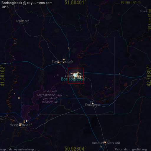
Analysis of Borisoglebsk night lights 2016
Square area 10x10 km:
 1.68%
1.68%90-99
3.64%80-89
1.4%70-79
0.7%60-69
4.2%50-59
2.8%40-49
0.7%30-39
1.54%20-29
0.7%10-19
11.48%0-9
71.15%Square area 50x50 km:
0.06%90-99
0.18%80-89
0.07%70-79
0.05%60-69
0.16%50-59
0.17%40-49
0.05%30-39
0.06%20-29
0.05%10-19
0.47%0-9
98.69%Clear (daylight) street map image can be seen on geolist.org.
Map coordinates:
51° 48' 14.4" North, 41° 22' 54.6" East
51° 22' 1.7" North, 42° 5' 5.8" East
50° 55' 33.7" North, 42° 47' 17.1" East
Some cities around Borisoglebsk sort by population:
• Uryupinsk
62.7 km =39 mi,  184°
184°
• Povorino
22.2 km =13.8 mi,  149°
149°
• Gribanovskiy
12.6 km =7.8 mi,  323°
323°
• Novonikolayevskiy
47.9 km =29.8 mi,  155°
155°
• Kamenka
47.7 km =29.6 mi,  95°
95°
• Muchkapskiy
60.1 km =37.3 mi,  26°
26°
• Romanovka
62.4 km =38.8 mi,  47°
47°
• Novokhopërsk
43.9 km =27.3 mi,  226°
226°
572525 (p: 68,597)
Sources (retrieved 2019-11-25):
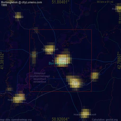
» NASA, Earths city lights 1995
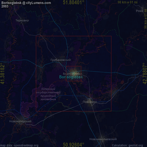
» NASA city lights 2003
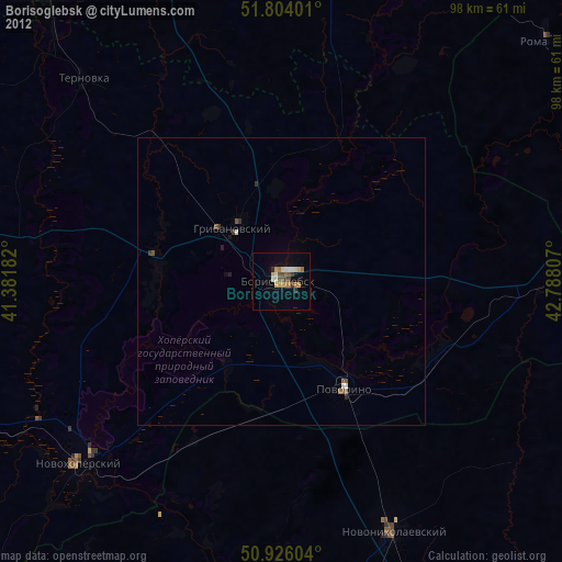
» Earth at Night: Flat Maps 2012, 2016