Vydrino night lights from space
Night Light of Vydrino (Buryatiya Republic) from space (Russia) Src. Average luminocity for 10x10km area is 0.6551% and for 50x50km: 0.0445%.
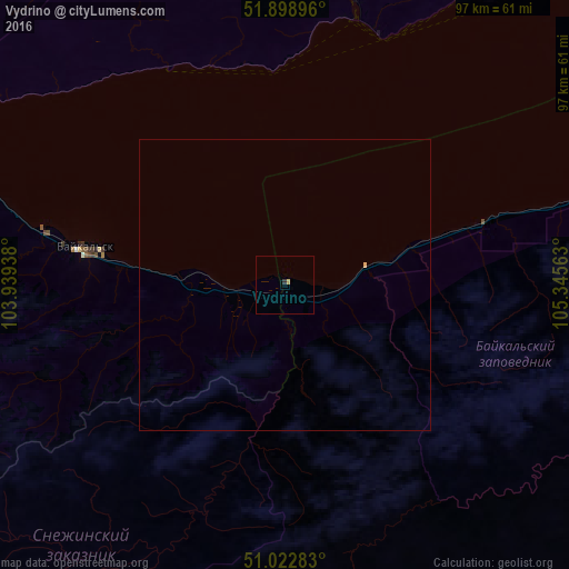
Analysis of Vydrino night lights 2016
Square area 10x10 km:
 0%
0%90-99
0%80-89
0.53%70-79
0%60-69
0%50-59
0%40-49
0%30-39
0.27%20-29
0.27%10-19
0%0-9
98.93%Square area 50x50 km:
0%90-99
0%80-89
0.04%70-79
0%60-69
0%50-59
0%40-49
0%30-39
0.01%20-29
0.01%10-19
0%0-9
99.94%Clear (daylight) street map image can be seen on geolist.org.
Map coordinates:
51° 53' 56.3" North, 103° 56' 21.8" East
51° 27' 46.8" North, 104° 38' 33" East
51° 1' 22.2" North, 105° 20' 44.3" East
Some cities around Vydrino sort by population:
• Irkutsk
95.8 km =59.5 mi,  345°
345°
• Shelekhov
91.4 km =56.8 mi,  335°
335°
• Slyudyanka
68.3 km =42.4 mi,  288°
288°
• Markova
88.1 km =54.7 mi, 340°
• Baykal’sk
35.3 km =21.9 mi,  279°
279°
• Meget
113.4 km =70.5 mi, 338°
• Petropavlovka
105.9 km =65.8 mi,  153°
153°
• Rechka-Vydrino
14.2 km =8.8 mi,  78°
78°
2013226 (p: 5,300)
Sources (retrieved 2019-11-25):
» Earth at Night: Flat Maps 2012, 2016