Rechka-Vydrino night lights from space
Night Light of Rechka-Vydrino (Buryatiya Republic) from space (Russia) Src. Average luminocity for 10x10km area is 0.4626% and for 50x50km: 0.0553%.
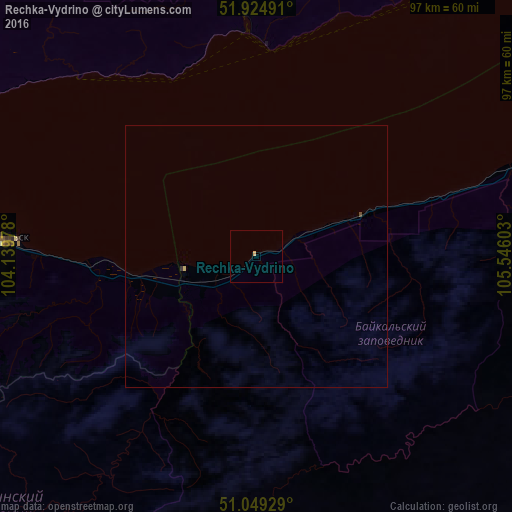
Analysis of Rechka-Vydrino night lights 2016
Square area 10x10 km:
 0%
0%90-99
0%80-89
0.53%70-79
0%60-69
0%50-59
0%40-49
0%30-39
0%20-29
0%10-19
0%0-9
99.47%Square area 50x50 km:
0%90-99
0%80-89
0.04%70-79
0%60-69
0%50-59
0%40-49
0.02%30-39
0.01%20-29
0.01%10-19
0%0-9
99.91%Clear (daylight) street map image can be seen on geolist.org.
Map coordinates:
51° 55' 29.7" North, 104° 8' 23.2" East
51° 29' 21.1" North, 104° 50' 34.4" East
51° 2' 57.4" North, 105° 32' 45.7" East
Some cities around Rechka-Vydrino sort by population:
• Irkutsk
97.4 km =60.5 mi,  337°
337°
• Shelekhov
95.4 km =59.3 mi,  327°
327°
• Slyudyanka
80.8 km =50.2 mi,  283°
283°
• Markova
91 km =56.5 mi, 331°
• Baykal’sk
48.7 km =30.3 mi,  273°
273°
• Meget
116.4 km =72.3 mi, 332°
• Petropavlovka
103.1 km =64.1 mi,  161°
161°
• Vydrino
14.2 km =8.8 mi,  258°
258°
2013225 (p: 5,211)
Sources (retrieved 2019-11-25):
» Earth at Night: Flat Maps 2012, 2016