Baykal’sk night lights from space
Night Light of Baykal’sk (Irkutsk Oblast) from space (Russia) Src. Average luminocity for 10x10km area is 6.3837% and for 50x50km: 0.2876%.
Analysis of Baykal’sk night lights 2016
Square area 10x10 km:
 0.4%
0.4%90-99
0.67%80-89
1.07%70-79
0%60-69
1.07%50-59
1.47%40-49
1.34%30-39
2.67%20-29
1.47%10-19
0%0-9
89.84%Square area 50x50 km:
0.02%90-99
0.03%80-89
0.04%70-79
0%60-69
0.04%50-59
0.08%40-49
0.09%30-39
0.11%20-29
0.06%10-19
0%0-9
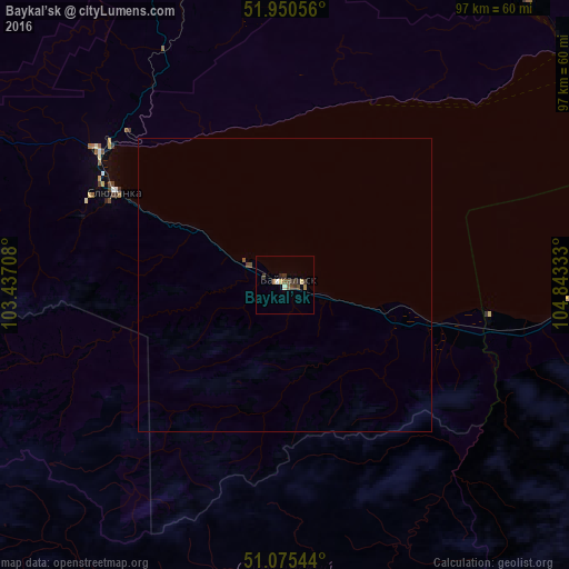
99.53%Clear (daylight) street map image can be seen on geolist.org.
Map coordinates:
51° 57' 2" North, 103° 26' 13.5" East
51° 30' 54" North, 104° 8' 24.7" East
51° 4' 31.6" North, 104° 50' 36" East
Some cities around Baykal’sk sort by population:
• Irkutsk
87.7 km =54.5 mi,  7°
7°
• Angarsk
114.9 km =71.4 mi,  351°
351°
• Shelekhov
77.8 km =48.3 mi,  357°
357°
• Slyudyanka
34 km =21.1 mi,  298°
298°
• Markova
77.3 km =48 mi,  3°
3°
• Meget
100.3 km =62.3 mi, 356°
• Vydrino
35.3 km =21.9 mi,  99°
99°
• Rechka-Vydrino
48.7 km =30.3 mi,  93°
93°
2026979 (p: 15,600)
Sources (retrieved 2019-11-25):
» Earth at Night: Flat Maps 2012, 2016